What is recorded here
Fairy fort in Ballymacroly, County Longford: an oval rath on a pasture rise, partly banked, partly scarped, with a wide eastern fosse and a possible outer edge near the entrance. People may have lived there, herded there, or simply avoided the hollow where the grass grows thicker. The measurements leave little room for argument, but the name keeps returning the site to wonder.
On a rise in undulating pasture. A raised oval area (43m N–S; 37m E–W) enclosed from NE–E–S, from WSW–W and from NW–NNW by a low bank of earth and stone (Wth 4.2-4.7m; H 0.4-0.6m), and elsewhere defined by a scarp (H 1.45-2m). A wide external fosse (Wth 7.1m; D 0.3-1m) is evident from E–ESE. A report in 1975 (SMR file) recorded the presence of a short segment of a low outer bank at E and also that the original entrance was at E.
Compiled by: Patrick F. O'Donovan
Date of upload: 23 November 2011
The monument record does not grant public access. Check the route and ask the landowner before entering private land.
- What survives
- Recorded monument
Places near here
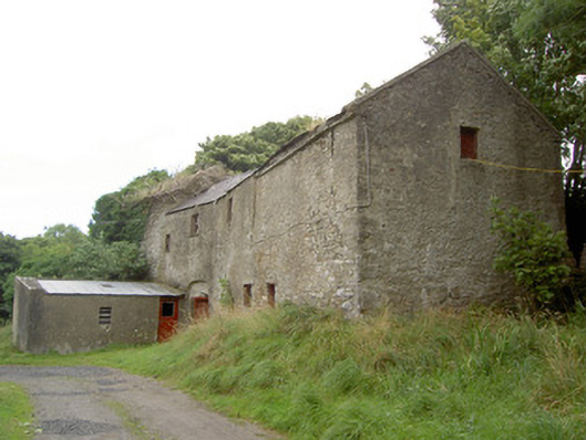 Millbrookmill (water) · 67 yd
 BarrowBarrow, pond barrow · 525 yd
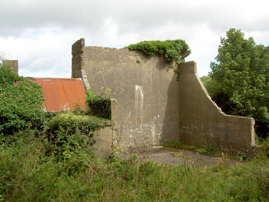 handball alleyhandball alley · 937 yd
 Site of Old Town of GranardSettlement deserted, medieval · 1592 yd
 Moat of GranardCastle, motte and bailey · 1.5 mi
 CastleCastle, unclassified · 1.5 mi
 Granard MotteMotte-and-bailey castle remains · 1.5 mi
 1798 Monumentmonument · 1.6 mi
 Clonfin Ambush MemorialMemorial · 2.1 mi
 Cloonfin WoodForest · 2.6 mi
 InchmoreIslet · 4.2 mi
 Derrycassan WoodsWood · 4.2 mi