What is recorded here
Situated near the end of a ridge, in pasture, with commanding views of the surrounding landscape. Annotated 'Moat' on the 1837 OS Fair Plan map. Depicted on the revised 1910 ed. OS 25-inch map as an oval-shaped earthwork. Monument described in 1973 as a high circular-shaped platform (diam. 20m) enclosed by a steep scarp, an intervening fosse and an outer bank. The surface of the platform is quite uneven. The intervening fosse and outer bank have been quarried from WNW-N-ENE. There is a causewayed entrance at SE. Monument is visible as a D-shaped partially scrub-covered earthwork on Digital Globe aerial photography.
Compiled by Alison McQueen, Vera Rahilly and Caimin O’Brien.
Date of upload: 16 December 2019
The monument record does not grant public access. Check the route and ask the landowner before entering private land.
- What survives
- Recorded monument
Places near here
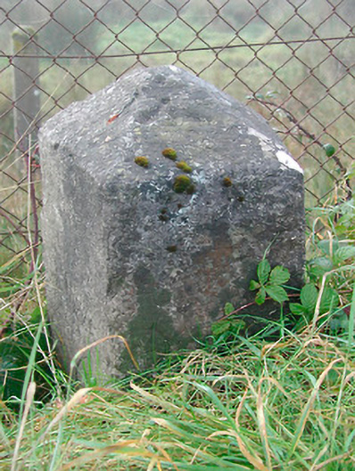 milestone/milepostmilestone/milepost · 1139 yd
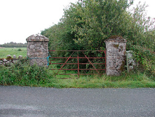 gates/railings/wallsgates/railings/walls · 1419 yd
 IndicatedFairy fort / earthen ringfort · 1593 yd
 OutlinedCastle, unclassified · 1670 yd
 St. Davids WellHoly well · 1.1 mi
 Bawn in CoolaloughBawn · 1.7 mi
 Kilmalady HillMountain / peak · 3.1 mi
 Bonfire HillMountain / peak · 3.2 mi
 High WoodWood · 3.4 mi
 St. Columba's WellSpring · 3.8 mi
 Ardan WoodWood · 3.8 mi
 Clara Bog BoardwalkHeritage attraction · 6.1 mi