What is recorded here
Fairy fort in Ballymacad is a circular earthen ringfort on a slight rise, its grass-covered interior thirty-nine metres across and its overgrown bank still standing one metre seven high. The entrance faces east-northeast with a causeway crossing the outer fosse, while the south-western bank has worn into a scarp. People may have lived inside this defensible circle before the land forgot their names, or the fairies may have taken the fort from them. Either way the earth remembers the shape of a threshold, and the fold of the landscape still opens northwest as if waiting for someone to enter.
Located on a slight rise in a little fold of the landscape that is open to the NW. This is a slightly domed (H 0.6-1.1m), circular, and grass-covered area (diam. 39.6m E-W; 36m N-S) defined by an overgrown earthen bank (Wth of base 4.3-6m; int. H 0.2-0.3m; ext. H 1.7m) that is reduced to a scarp S-SW, and an outer fosse (at W: Wth of top 6.5m; ext. D 0.2m). The entrance (Wth of base 2.7m) and causeway (Wth of top 2.9m; H 0.9m) are at ENE.
The above description is derived from the published 'Archaeological Inventory of County Meath' (Dublin: Stationery Office, 1987). In certain instances the entries have been revised and updated in the light of recent research.
Compiled by: Michael Moore
Date of revision: 31 October 2018
The monument record does not grant public access. Check the route and ask the landowner before entering private land.
- What survives
- Recorded monument
Places near here
 EnclosureEnclosure, large enclosure · 629 yd
 LissardFairy fort / earthen ringfort · 662 yd
 CastleCastle, unclassified · 727 yd
 The MoatCastle, motte and bailey · 811 yd
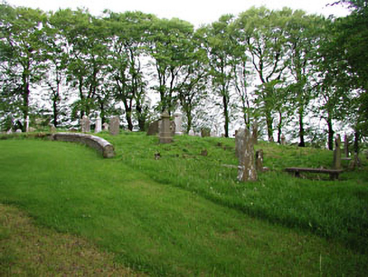 graveyard/cemeterygraveyard/cemetery · 1107 yd
 European BeechEuropean Beech · 1115 yd
 mill (water)mill (water) · 1575 yd
 Mullaghmeen ForestPicnic place · 1.9 mi
 Mount FortuneMountain / peak · 2.4 mi
 Memorial CrossMemorial · 2.7 mi
 Fennor LowerMountain / peak · 3.5 mi
 Zip WireHeritage attraction · 3.5 mi