What is recorded here
Fairy fort in Ballylinchy: a 26-metre earthen ring on a north-facing slope, its scarp still standing two metres high while plough ridges cut across the middle. People may have lived there before fields took it back, or fairies may have simply claimed the shape and refused to leave. Either way, the ring remains visible in pasture, marking a boundary between human use and something older that never fully departed.
In pasture, on N-facing slope. Circular area (26.4m NNE->SSW) defined by scarp (H 1.95m) SSW->NNE; levelled bank surviving as undulation NNE->E. Cultivation ridges cross interior NE-SW.
The above description is derived from the published 'Archaeological Inventory of County Cork. Volume 1: West Cork' (Dublin: Stationery Office, 1992). In certain instances the entries have been revised and updated in the light of recent research.
Date of upload/revision: 14 January 2009
The monument record does not grant public access. Check the route and ask the landowner before entering private land.
- What survives
- Recorded monument
Places near here
 Rathmore Bridgebridge · 288 yd
 Bawn in BallylinchyBawn · 417 yd
 CastleCastle, unclassified · 476 yd
 Burial ground in Rathmore (carbery West (e.d) By.)Burial ground · 895 yd
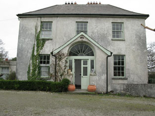 Glebe Houserectory/glebe/vicarage/curate's house · 1075 yd
 Kill Burial Gd (Childrens)Burial ground · 1118 yd
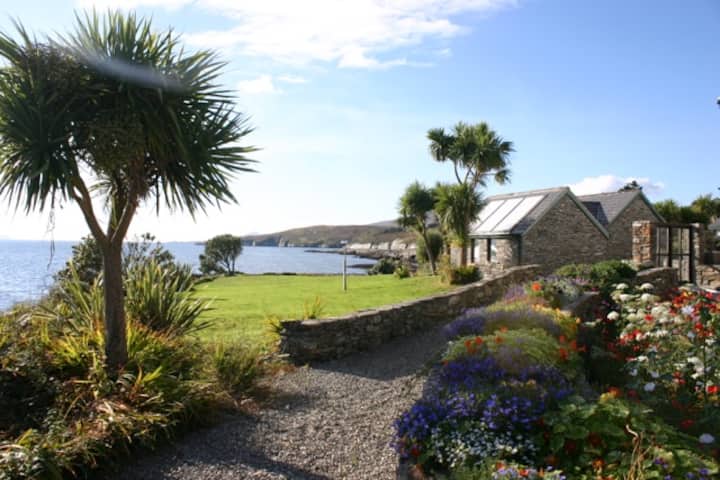 Reenmore IslandIslet · 1468 yd
 Wave Chieftain Whale WatchingHeritage attraction · 1.2 mi
 Ringarogy IslandIsland · 1.3 mi
 Walk 5 - Lough Hyne (7km)Walking route · 1.8 mi
 KnockomaghMountain / peak · 2.0 mi
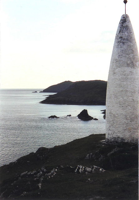 The Beaconbeacon · 2.0 mi