What is recorded here
In pasture. Subrectangular area (L 21m; Wth 18.4m) partially enclosed by low stone wall (H 0.65m) to NE and SE. Shallow fosse to NE. Burials marked by small cairns. Cross slab (CO150-053---) in NE quadrant.
The above description is derived from the published 'Archaeological Inventory of County Cork. Volume 1: West Cork' (Dublin: Stationery Office, 1992). In certain instances the entries have been revised and updated in the light of recent research.
Date of upload/revision: 14 January 2009
Portal dolmen; likely Neolithic in origin. Its subrectangular layout and cross slab suggest ritual or funerary significance within early farming communities.
The monument record does not grant public access. Check the route and ask the landowner before entering private land.
- What survives
- Recorded monument
Places near here
 Kill Burial Ground (Childrens)Burial ground · 1087 yd
 Castle (in Ruins)Castle, unclassified · 1129 yd
 Rathmore Bridgebridge · 1192 yd
 IndicatedEnclosure · 1208 yd
 Bawn in BallylinchyBawn · 1535 yd
 Church in Kedge IslandChurch · 1.1 mi
 Walk 5 - Lough Hyne (7km)Walking route · 1.3 mi
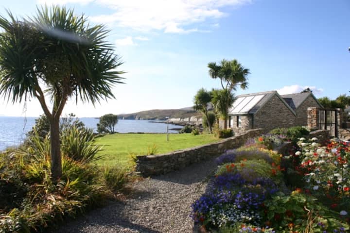 Reenmore IslandIslet · 1.3 mi
 KnockomaghMountain / peak · 1.6 mi
 Wave Chieftain Whale WatchingHeritage attraction · 1.8 mi
 Kedge IslandIslet · 1.8 mi
 Wild Atlantic Way:Lough HyneVisitor information · 1.8 mi
Other information
Photo: Credit not shown in the picture search · Rights wording not checked; contact us if this picture should be removed