What is recorded here
Ballyknock held a ringfort on high ground above pasture and forestry, watching north, east and west until ploughs erased it around the 1950s. The earth that resisted every storm gave way to a single passing season, perhaps because visibility mattered more than memory. What disappeared was not small; it stood where the land could be read at a glance. Forgetting it requires less imagination than losing a house.
On high ground in pasture with forestry immediately to NW, excellent views to N, E and W. According to local information ringfort ploughed out sometime around the 1950's.
Compiled by: Claire Breen
Date of upload: 19 August 2011
The monument record does not grant public access. Check the route and ask the landowner before entering private land.
- What survives
- Recorded monument
Places near here
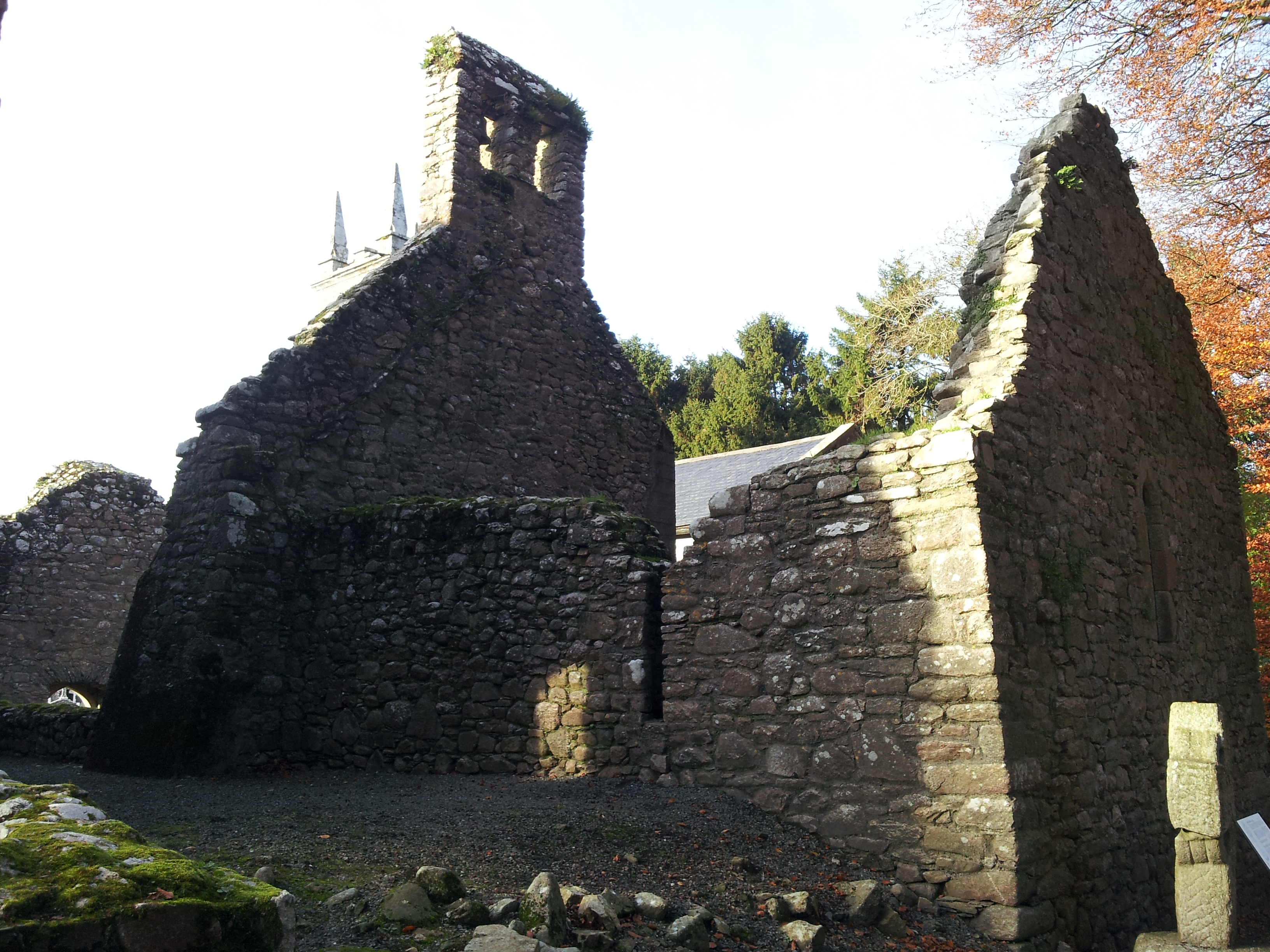 St. Mullins Oratory (in Ruins)Church · 347 yd
 Saint Moling's Catholic Churchchurch/chapel · 563 yd
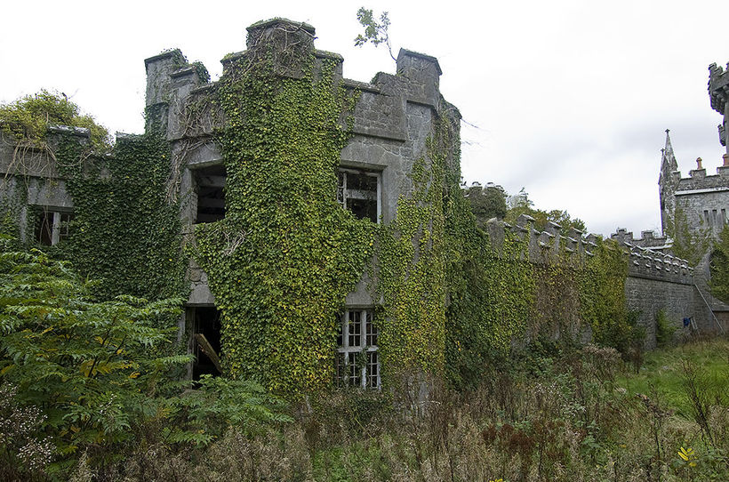 Enclosure in TemplenaboeEnclosure · 981 yd
 Enclosure in BahanaEnclosure · 1219 yd
 Graveyard in St. Mullin'sGraveyard · 1.0 mi
 St. Mullins MoatCastle, motte and bailey · 1.1 mi
 Bahana WoodForest · 1.2 mi
 The SpoutSpring · 1.6 mi
 Silver WattleSilver Wattle · 2.1 mi
 Clogaralt Castle (site of)Archaeological place · 2.2 mi
 CarrigvahanaghMountain / peak · 2.2 mi
 White MountainMountain / peak · 2.8 mi