What is recorded here
Described in 1977 as a ringfort that is situated on top of a low rise of ground in good pastureland with good views to the SE. The monument consists of a roughly circular-shaped area (diam. 35m N-S; 32m E-W) defined by an earth and stone bank with an external fosse. There are the partial remains of an external earth and stone bank visible at SW only. The fosse has been mainly filled in and is only visible at SW and NE. The inner bank is best preserved at the NE and there is evidence of internal stone facing of the bank from E to SE. A gap (Wth 2.8m) in the bank at SE appears to be the original entrance feature. The terminals of the bank on either side of the gap are faced with large stones set on edge. Two later gaps in the bank are visible at NW. The interior slopes slightly from NE to SW.
Compiled by: Caimin O’Brien
Date of upload: 28 March 2013
The monument record does not grant public access. Check the route and ask the landowner before entering private land.
- What survives
- Recorded monument
Places near here
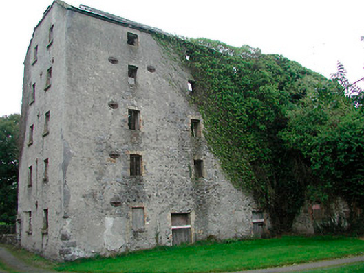 mill (water)mill (water) · 430 yd
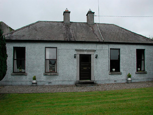 miller's housemiller's house · 476 yd
 Enclosure in Balrath (moycashel By.)Enclosure · 529 yd
 Balrath CastleCastle · 548 yd
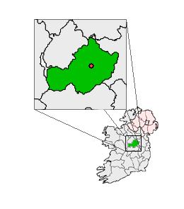 Partially outlinedCastle, unclassified · 1.1 mi
 Ardan WoodWood · 3.6 mi
 Bonfire HillMountain / peak · 3.6 mi
 Kilmalady HillMountain / peak · 5.4 mi
 High WoodWood · 5.5 mi
 St. Columba's WellSpring · 5.7 mi
 Clara Bog BoardwalkHeritage attraction · 8.6 mi