What is recorded here
No. Of course not. That is the trap. You want to believe the warning, not test it. The chamber may be empty or hostile, but that is not known yet. This is an invitation to test the chamber, not to label it. That is all.
In pasture, overlooking Lough Hyne to W; overlooked by rock outcrop and higher ground to E. Marked on OS 6-inch map (1842) as hachured circular enclosure (diam. c. 30m). Levelled c. 1960: no visible surface trace.
The above description is derived from the published 'Archaeological Inventory of County Cork. Volume 1: West Cork' (Dublin: Stationery Office, 1992). In certain instances the entries have been revised and updated in the light of recent research.
Date of upload/revision: 14 January 2009
The monument record does not grant public access. Check the route and ask the landowner before entering private land.
- What survives
- Recorded monument
Places near here
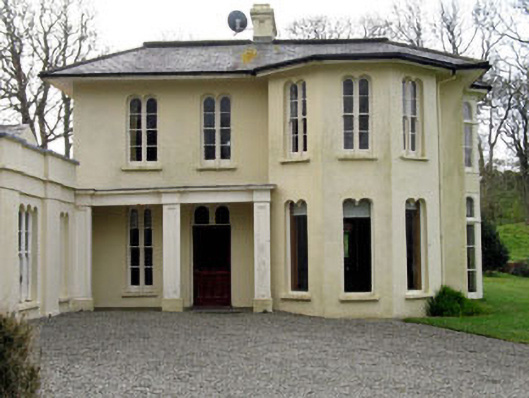 Lough Ine Househunting/fishing lodge · 341 yd
 Kill Burial Gd (Childrens)Burial ground · 502 yd
 Wild Atlantic Way:Lough HyneVisitor information · 697 yd
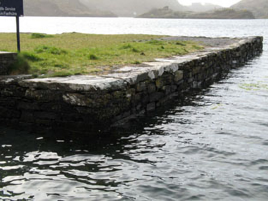 quay/wharfquay/wharf · 700 yd
 ClochánCastle · 733 yd
 Holy well in Pookeen (carbery West (e.d) By.)Holy well · 921 yd
 Trá na BóBeach / strand · 1292 yd
 KnockomaghMountain / peak · 1497 yd
 Walk 5 - Lough Hyne (7km)Walking route · 1560 yd
 TralispeanBeach / strand · 1646 yd
 Bullock IslandIslet · 1680 yd
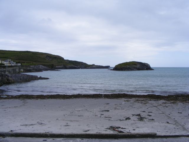 Drishane IslandIslet · 1.3 mi