What is recorded here
Situated on a slight natural rise on relatively low lying wet grassland with corn mill 520m to NNW. Ringfort (WM011-093---) 105m to NE. Depicted as a circular shaped enclosure intersected at W by a mill race on the 1837 ed.OS 6-inch map. Not depicted on revised 1911 ed. OS 25-inch map. A sub-circular shaped area (approx. diam. 40m N-S; 45m E-W) enclosed by a poorly preserved earthen bank. This bank is only visible at SW. The interior rises from the perimeter towards the centre where it levels off to form a depression. A mill race running NNE-SSW intersects the monument from W-SW.
Compiled by: Frank Coyne and Caimin O'Brien
Date of upload: 24 August 2017
The monument record does not grant public access. Check the route and ask the landowner before entering private land.
- What survives
- Recorded monument
Places near here
 Partially hachuredFairy fort / earthen ringfort · 489 yd
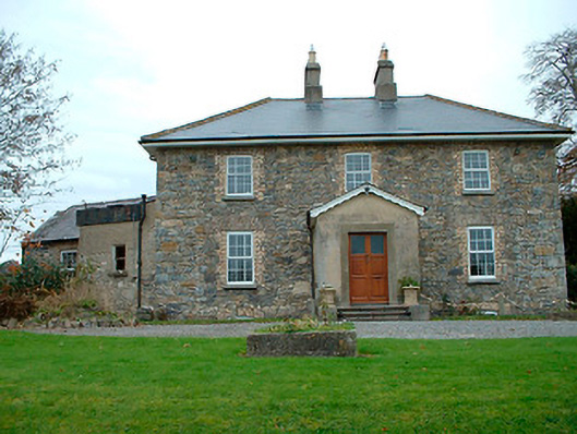 Grange Hallhouse · 659 yd
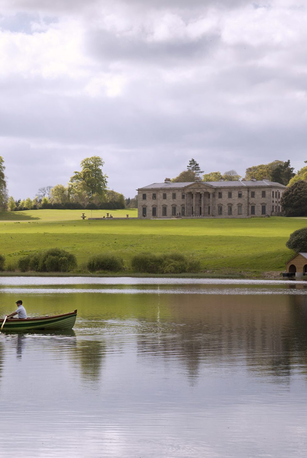 Fulacht fia in BalroeFulacht fia · 672 yd
 34th Locklock · 1.1 mi
 CastleCastle, tower house · 1.2 mi
 Baronstown ForestWood · 1.6 mi
 Site of Castle, Castle FieldCastle, unclassified · 1.6 mi
 Horse-chestnutHorse-chestnut · 1.7 mi
 Craft WorkshopHeritage attraction · 8.7 mi
 Guest ServicesVisitor information · 8.7 mi
 Newcastle WoodsForest · 9.3 mi
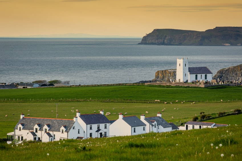 Fulacht fia in Ballysallagh (tuite)Fulacht fia · 755 yd