What is recorded here
Situated on a small rise, in low-lying pasture, to the immediate N of a river, with good views to W and ESE. Monument described as an oval-shaped area (dims. 35m E-W; 34m N-S) defined by an inner bank, an intervening fosse and an outer bank. The low inner bank is visible from NE-SE and is reduced to a scarp from SE-W-N-NE. A large portion has been quarried away at ENE. The fosse is visible from NW-N-ENE. The outer bank is visible only at NW. A field boundary running NNW-SSE has truncated the fosse and bank at E. The entrance is represented by a gap (Wth at top 4.2m; Wth at base 2.1m) and a causeway (Wth at top 2.2m; overall Wth 5.3m; H 0.75m) at NNE. The interior rises appreciably from the perimeter towards the centre. In 1971 it was noted that very vague traces of low banks within the WNW quadrant may represent house sites (WM027-024001-).
Compiled by Alison McQueen, Vera Rahilly and Caimin O’Brien.
Date of upload: 06 November 2019
The monument record does not grant public access. Check the route and ask the landowner before entering private land.
- What survives
- Recorded monument
Places near here
 CastleCastle, ringwork · 354 yd
 bridgebridge · 577 yd
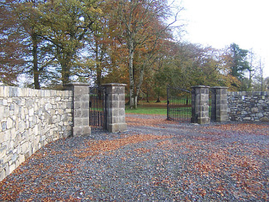 Hyde Parkdemesne walls/gates/railings · 772 yd
 Enclosure in AnnaskinnanEnclosure · 1415 yd
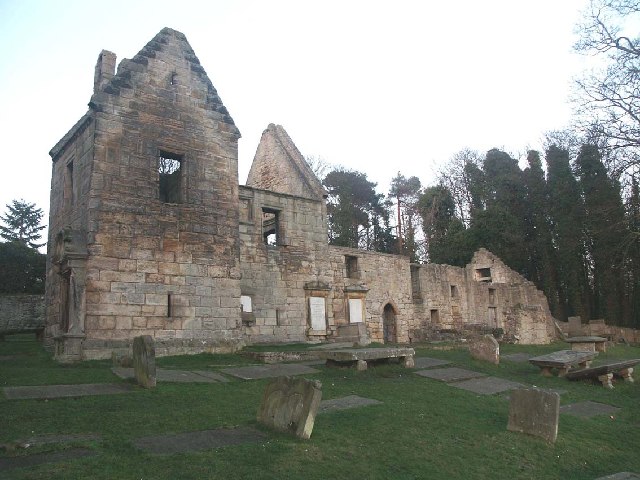 St. Bridgets WellHoly well · 1.0 mi
 Rathwire Moat & CastleCastle, motte and bailey · 1.4 mi
 ScregganWood · 4.6 mi
 Abandoned Kinnegad CanalWood · 5.0 mi
 Croppies' GraveMemorial · 6.4 mi
 D'Arcy's Bridgebridge · 896 yd
 canal (section of)canal (section of) · 903 yd
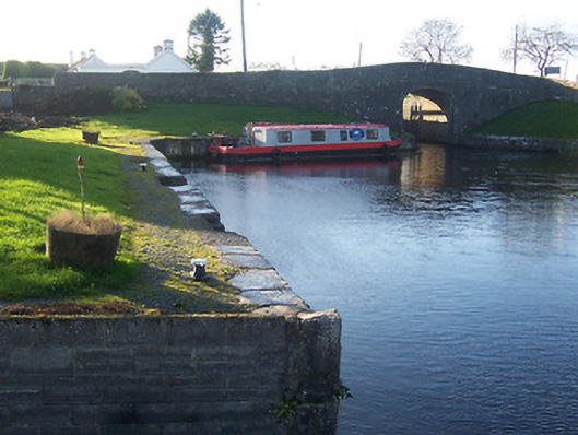 harbour/dock/portharbour/dock/port · 937 yd