What is recorded here
Fairy fort in Ballyharoon: a 35-metre earthen ring on a south-facing Cork pasture slope, its bank still standing though fences and conifers have claimed the inside. People called it a fairy fort because the shape resisted ordinary explanation, yet the stone-faced earthwork speaks more plainly of human hands, perhaps farmers or fighters marking a boundary before written records. The chamber may have held a house, a byre or a shrine; the forgootten residents are gone, but the circle remains, doing what rings do, holding space against forgetting.
In rolling pasture, on gentle S-facing slope. Circular area (35.5m E-W; 34m N-S) enclosed by earthen bank (H 1.1m), stone faced externally to SW. Bank incorporated into field fence system SSW->NW. Interior planted with coniferous trees.
The above description is derived from the published 'Archaeological Inventory of County Cork. Volume 2: East and South Cork' (Dublin: Stationery Office, 1994). In certain instances the entries have been revised and updated in the light of recent research.
Date of upload/revision: 14 January 2009
The monument record does not grant public access. Check the route and ask the landowner before entering private land.
- What survives
- Recorded monument
Places near here
 Grave YdGraveyard · 544 yd
 Glanmire Heritage SocietyMemorial · 551 yd
 Rathcooney HouseCountry house · 821 yd
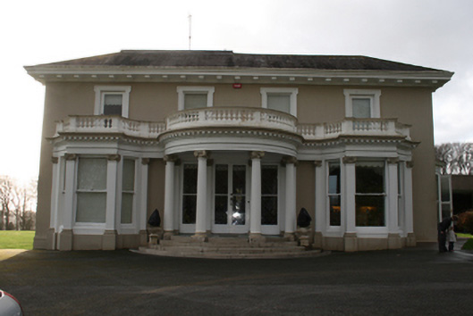 Lauristoncountry house · 934 yd
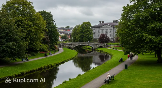 Tinker's Cross ParkMemorial · 1209 yd
 Cork WalksVisitor information · 1223 yd
 IndicatedFairy fort / earthen ringfort · 1632 yd
 Vienna WoodsWood · 1.3 mi
 Tourist OfficeVisitor information · 2.5 mi
 Mount Hillary - Knightfield LoopWalking route · 22 mi
 St Fursey's WellSpring · 24 mi
 European YewEuropean Yew · 24 mi