What is recorded here
No visible fort remains in Ballyglassin, County Longford. A 1976 report described a 27m circular rath with an earth-and-stone bank at the north, a scarp at the northeast and east, and levelled ground to the south and west. The entrance was not recognisable, and the rath has since disappeared completely from the pasture slope.
On a gentle E-facing slope in pasture. A report in 1976 (SMR file) recorded a raised circular area (diam. 27m) enclosed by a low bank of earth and stone at N. At NE and E the defining element was a scarp and at S and W the enclosing element had been levelled. The original entrance was not recognisable. The rath has since been completely levelled and it is not visible at ground level.
Compiled by: Patrick F. O'Donovan
Date of upload: 23 November 2011
The monument record does not grant public access. Check the route and ask the landowner before entering private land.
- What survives
- Recorded monument
Places near here
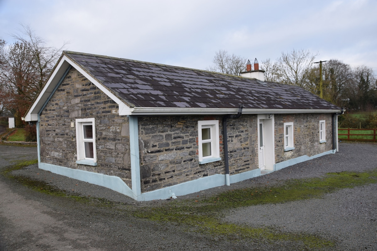 Enclosure in BreanyEnclosure · 960 yd
 Burnt spread in BallycloghanBurnt spread · 1.0 mi
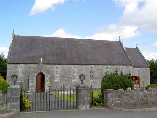 Saint Anne's Catholic Churchchurch/chapel · 1.1 mi
 Church in Glebe (ardagh By., Foxhall Ed)Church · 1.3 mi
 CastleCastle, motte · 1.3 mi
 Druming Ho. (in ruins)Castle, unclassified · 1.5 mi
 Pedunculate OakPedunculate Oak · 2.6 mi
 Common AlderCommon Alder · 3.1 mi
 National Famine WayWalking route · 3.6 mi
 Abbeyshrule AbbeyRuins · 4.6 mi
 Graveyard in Curry (ardagh By., Coolamber Ed)Graveyard · 6.7 mi
 Leveret IslandIslet · 11 mi