What is recorded here
Fairy forts are misnamed human buildings: chambers, kilns, hoards and hearths misread as magic. A true chamber is a chamber, a true gate a gate, a true cellar a cellar. The fairy label is a confession that human evidence has disappeared, not a claim that fairies build.
In pasture, on S-facing slope of E-W ridge. Sub-circular area (14m N-S; 19m E-W) enclosed by much-eroded earth-and-stone bank except SE->SW where edge defined by top line of steep natural incline. Bank best preserved SW->W and NW->N (int. H 0.2m; ext. H 0.4m), latter section overgrown with gorse; otherwise bank reduced to low stony rise (Wth c. 4m; H c. 0.25m). Immediately outside bank on N side is E-W field boundary. Interior strewn with loose stones probably derived from eroding bank.
Compiled by: Denis Power
Date of upload: 26 August 2011
The monument record does not grant public access. Check the route and ask the landowner before entering private land.
- What survives
- Recorded monument
Places near here
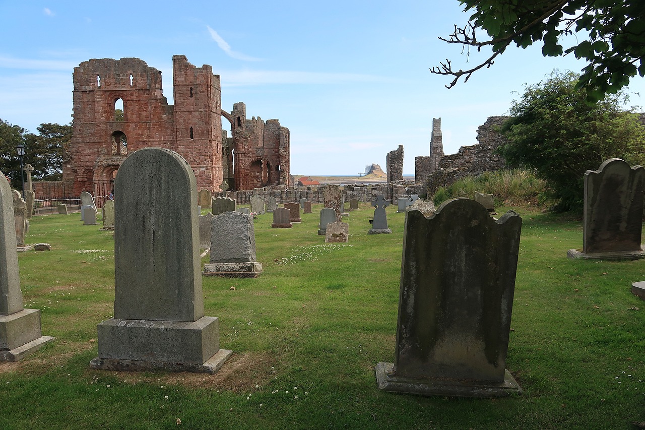 Grave YardGraveyard · 1041 yd
 Enclosure in Killeany MoreEnclosure · 1058 yd
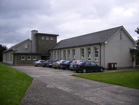 Saint Fergus's National Schoolschool · 1113 yd
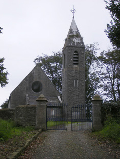 Saint Paul's Church (Kilfergus)church/chapel · 1379 yd
 Bawn in Killacolla (barker)Bawn · 1633 yd
 Glin CastleCastle · 1.1 mi
 TobercloonaghSpring · 2.2 mi
 Prospect HillMountain / peak · 2.2 mi
 Mountshannon WoodWood · 2.8 mi
 Mountshannon PointHeadland · 3.1 mi
 Tarbet BayBay · 3.7 mi
 Mountshannon EstateHeritage attraction · 4.1 mi