What is recorded here
No visible entrance remains on the Ballygilchrist knoll, though a fort label appeared on the 1837 map and a shallow ditch may have surrounded it. Roadworks and field boundaries cut through the ring, while scrub fills the space where people once lived or kept animals. The earth still rises above the pasture, preserving the shape even when its entry has been forgotten.
On a low knoll in undulating pasture. Depicted as a large circular enclosure with the designation 'Fort' on the 1837 ed. of the OS 6-inch map. A raised oval-shaped area (c. 42m NNE-SSW; c. 36m ENE-WSW) defined from ENE-S-NW by a scarp (H 1-1.5m). From SSW-W-NW the scarp has been modified and incorporated into a field boundary and from NW-N-NNE the monument is clipped by a roadway. The original entrance is not recognisable. A report in 1975 (SMR file) recorded traces of an external fosse, which are no longer identifiable. The monument is densely overgrown with scrub.
Compiled by: Patrick F. O'Donovan
Date of upload: 31 January 2013
The monument record does not grant public access. Check the route and ask the landowner before entering private land.
- What survives
- Recorded monument
Places near here
 Enclosure in RathcorEnclosure · 478 yd
 BarrowBarrow, ring-barrow · 775 yd
 Water millWater mill, unclassified · 1649 yd
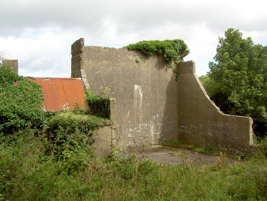 handball alleyhandball alley · 1701 yd
 BawnBawn · 1.5 mi
 CastleCastle, unclassified · 1.6 mi
 Granard MotteMotte-and-bailey castle remains · 1.6 mi
 1798 Monumentmonument · 1.6 mi
 Cloonfin WoodForest · 2.4 mi
 Clonfin Ambush MemorialMemorial · 2.4 mi
 InchmoreIslet · 3.1 mi
 Derrycassan WoodsWood · 3.1 mi