What is recorded here
Fairy forts are human ringforts misnamed because people stopped remembering the hands that built them. This is one of those places where the truth got swapped for legend. The conifers and forgotten boundary banks suggest a working farm lost beneath decoration. The fairies are only the shape of the forgotten owner.
In coniferous plantation, on gentle S-facing slope. Circular area (45m N-S; 45m E-W) enclosed by earthen bank (int. H 2m; ext. H 2.2m); external fosse (D 1.3m). Causewayed entrance (Wth 3.75m) to SSE. Low earthen bank, NNW->ESE, outside fosse appears to be remains of field boundary. Roadway skirts site to E. Rectangular area enclosed by low bank adjoins S side of monument; within N end of this enclosure and immediately outside fosse is slightly raised platform with a central circular depression (diam. c. 3m; D 0.5m), with vertical sides. Entire site planted with coniferous trees.
The above description is derived from the published 'Archaeological Inventory of County Cork. Volume 4: North Cork' (Dublin: Stationery Office, 2000). In certain instances the entries have been revised and updated in the light of recent research.
Date of upload/revision: 14 January 2009
The monument record does not grant public access. Check the route and ask the landowner before entering private land.
- What survives
- Recorded monument
Places near here
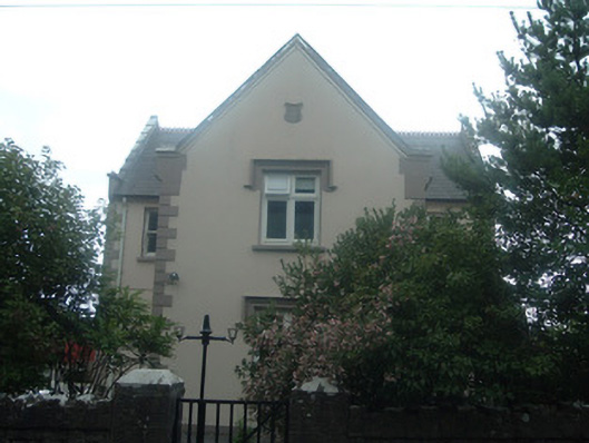 schoolschool · 175 yd
 Graveyard in Ballygiblin (duhallow By.)Graveyard · 453 yd
 IndicatedDesigned landscape, tree-ring · 605 yd
 Ballygiblin Housefarmyard complex · 732 yd
 Enclosure in Ballygiblin (duhallow By.)Enclosure · 1101 yd
 Castle Magner (in Ruins)Bawn · 1311 yd
 Lohort CastleCastle, tower house · 1.3 mi
 European YewEuropean Yew · 1.5 mi
 Burial ground in AssolasBurial ground · 1.7 mi
 St Fursey's WellSpring · 3.8 mi
 Kanturk CastleHeritage attraction · 4.3 mi
 Mount Hillary - Knightfield LoopWalking route · 4.3 mi