What is recorded here
Located on break in a NE-facing slope in undulating pastureland. A roughly circular area (diam. 49.3m N-S; 44.5m E-W) enclosed by a bank (Wth 1.1m; int. H 0.23m; ext. H 0.38m), a fosse (Wth 2.2m; D 0.75m) and an outer bank (Wth 1.7m; ext. H 0.83m). Both the inner and outer banks, composed of earth and stone, are fairly insubstantial and are overgrown with trees and scrub. There is an entrance at SSE (Wth 2m) with possible stone revetment terminating the collapsed bank. A field boundary skirts the site from SE to NW causing some damage to the defences of the site.
The above description is derived from 'The Archaeological Inventory of County Tipperary. Vol. 1 - North Tipperary' compiled by Jean Farrelly and Caimin O'Brien (Dublin: Stationery Office, 2002). In certain instances the entries have been revised and updated in the light of recent research.
Date of upload/revision: 22 September 2008
The monument record does not grant public access. Check the route and ask the landowner before entering private land.
- What survives
- Recorded monument
Places near here
 IndicatedFairy fort / earthen ringfort · 906 yd
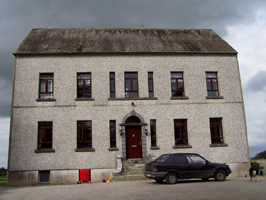 Clermont Housecountry house · 991 yd
 Enclosure in BallygibbonEnclosure · 1028 yd
 Bawn in Graigue Upper (ardcrony Par.)Bawn · 1373 yd
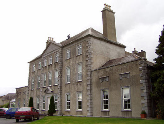 Beechwood Housecountry house · 1380 yd
 Ballycapple WoodForest · 1.0 mi
 James Devaney MemorialMemorial · 1.5 mi
 CastleCastle, tower house · 2.0 mi
 MacDonagh HouseMemorial · 3.7 mi
 Thomas MacDonagh Heritage CentreMuseum · 3.7 mi
 Knockanacree WoodForest · 4.3 mi
 Knigh HillMountain / peak · 4.4 mi