What is recorded here
Half a kilometre west of the parish church, a broken earthen ring still holds its shape on the south-facing slope. Two banks and a shallow ditch mark the edge of a small fortified farm, likely occupied during the medieval period. The gap in the southeast bank suggests an entrance rather than collapse, inviting imagination about the people who lived inside.
In pasture, on S-facing slope. Circular area (34m N-S; 32m E-W) defined by earthen bank (max. H 2.8m); second bank (H 3.1m), separated from inner bank by intervening fosse, survives SW->N. Gap in bank to SE.
The above description is derived from the published 'Archaeological Inventory of County Cork. Volume 3: Mid Cork' (Dublin: Stationery Office, 1997). In certain instances the entries have been revised and updated in the light of recent research.
Date of upload/revision: 14 January 2009
The monument record does not grant public access. Check the route and ask the landowner before entering private land.
- What survives
- Recorded monument
Places near here
 St Laghteen's Roman Catholic Churchchurch/chapel · 845 yd
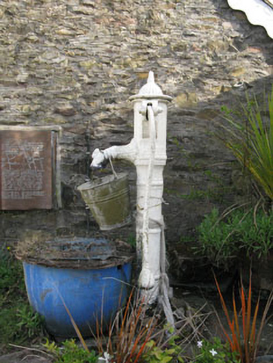 water pumpwater pump · 854 yd
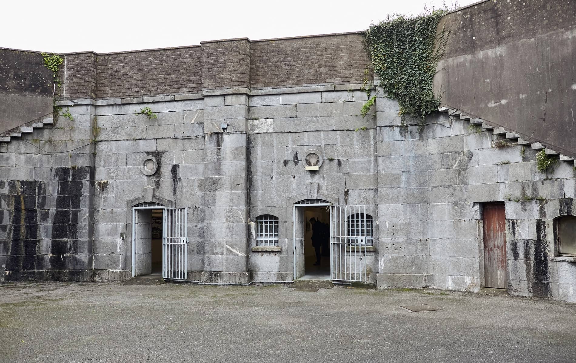 Enclosure in BallymorisheenEnclosure · 1243 yd
 Grave YdGraveyard · 1311 yd
 Pairc Ath Na hEornaMemorial · 1.3 mi
 Graveyard in KilmonaGraveyard · 1.8 mi
 Castle (Site of)Castle, Anglo-Norman masonry castle · 2.0 mi
 Rock HillMountain / peak · 2.5 mi
 Garrycloyne Castle (in Ruins)Castle, tower house · 2.5 mi
 Lyradane MountainMountain / peak · 2.5 mi
 St John's WellSpring · 4.0 mi
 BatsVisitor information · 4.2 mi