What is recorded here
Magic is not invention. It is the death of understanding. The familiar is a cage for the imagination. What you call delusion may be the minimum of clarity. This is why human systems need magic. Without it they collapse into bullshit.
In pasture, on N-facing slope. Circular area (33m E-W; 32m N-S) defined by earthen bank (H 1.6m) NE->NNW; scarp (H 1.1m) elsewhere. Shallow external fosse (D 0.2m) survives to N, NE and S. Interior once planted with coniferous trees, only a few remain.
The above description is derived from the published 'Archaeological Inventory of County Cork. Volume 3: Mid Cork' (Dublin: Stationery Office, 1997). In certain instances the entries have been revised and updated in the light of recent research.
Date of upload/revision: 14 January 2009
The monument record does not grant public access. Check the route and ask the landowner before entering private land.
- What survives
- Recorded monument
Places near here
 Burial ground in Ballyfadeen MoreBurial ground · 686 yd
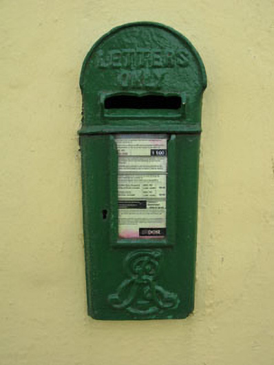 post boxpost box · 1294 yd
 farm housefarm house · 1437 yd
 Castle (Site of)Castle, unclassified · 1490 yd
 Enclosure in Ballyvaloon (barretts By.)Enclosure · 1500 yd
 Pairc Ath Na hEornaMemorial · 1.1 mi
 Garrycloyne Castle (in Ruins)Castle, tower house · 1.7 mi
 Pakie HoganMemorial · 2.0 mi
 Lyradane MountainMountain / peak · 3.1 mi
 Rock HillMountain / peak · 3.4 mi
 BatsVisitor information · 3.4 mi
 Waterloo Loop WalkWalking route · 3.6 mi