What is recorded here
Fairy fort in Ballyfadeen More is a 54m earthen ringfort on a NE-facing pasture slope in County Cork. Its bank, once 1.45m high, still circles the ground though fences and stone facing have changed its edge. People may have lived there before forgetting, or the land may have kept the shape for reasons it does not explain.
In pasture, on NE-facing slope. Circular area (54m NW-SE) defined by earthen bank (int. H 1.45m) ESE->NW; low rise to NE (along line of levelled bank); fosse survives to S as shallow external depression. Bank incorporated into field fence system; stone-faced in parts.
The above description is derived from the published 'Archaeological Inventory of County Cork. Volume 3: Mid Cork' (Dublin: Stationery Office, 1997). In certain instances the entries have been revised and updated in the light of recent research.
Date of upload/revision: 14 January 2009
The monument record does not grant public access. Check the route and ask the landowner before entering private land.
- What survives
- Recorded monument
Places near here
 Burial ground in Ballyfadeen MoreBurial ground · 320 yd
 farm housefarm house · 617 yd
 Enclosure in Ballyvaloon (barretts By.)Enclosure · 1239 yd
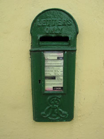 post boxpost box · 1575 yd
 Castle (Site of)Castle, unclassified · 1.1 mi
 Pairc Ath Na hEornaMemorial · 1.5 mi
 Garrycloyne Castle (in Ruins)Castle, tower house · 2.1 mi
 Pakie HoganMemorial · 2.4 mi
 Lyradane MountainMountain / peak · 2.9 mi
 Rock HillMountain / peak · 3.2 mi
 BatsVisitor information · 3.8 mi
 Waterloo Loop WalkWalking route · 4.0 mi