What is recorded here
Fairy forts in Ballyfadeen More hide inside ordinary fields, yet the fort at Ballyfadeen More has disappeared entirely. A circular enclosure about thirty-five metres across stood on a north-west facing slope, visible enough on old surveys to be drawn before the land was levelled. It may have been a farmyard, a boundary marker, or a small defended house where people argued, buried children and forgot the name of the person who first lived there. What is certain is that the earth was taken from the shape, and what is certain also is that the shape resisted being forgotten long enough to be measured.
Shown on 1842, 1904 and 1937 OS 6-inch maps as hachured circular enclosure (diam. c. 35m). In pasture, on NW-facing slope. Levelled; no visible surface trace.
The above description is derived from the published 'Archaeological Inventory of County Cork. Volume 3: Mid Cork' (Dublin: Stationery Office, 1997). In certain instances the entries have been revised and updated in the light of recent research.
Date of upload/revision: 14 January 2009
The monument record does not grant public access. Check the route and ask the landowner before entering private land.
- What survives
- Recorded monument
Places near here
 Burial ground in Ballyfadeen MoreBurial ground · 458 yd
 farm housefarm house · 1061 yd
 Enclosure in Ballyvaloon (barretts By.)Enclosure · 1187 yd
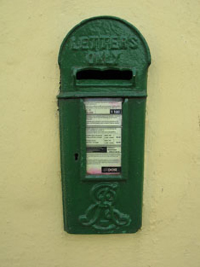 post boxpost box · 1507 yd
 Castle (Site of)Castle, unclassified · 1.0 mi
 Pairc Ath Na hEornaMemorial · 1.3 mi
 Garrycloyne Castle (in Ruins)Castle, tower house · 2.0 mi
 Pakie HoganMemorial · 2.3 mi
 Lyradane MountainMountain / peak · 2.9 mi
 Rock HillMountain / peak · 3.2 mi
 BatsVisitor information · 3.6 mi
 Waterloo Loop WalkWalking route · 3.9 mi