What is recorded here
Fairy forts are often called forts because they look like abandoned military works, but the name suggests something else: a place where the boundary between people and hidden life became thin. In Ballyengland Lower the earth still marks that idea, an oval bank and ditch set into a north-facing slope beside an ordinary farmyard. The broken section where the bank and fosse disappeared may have been made by people seeking entry, not escape. What they entered is no longer written, but the shape remains, waiting to be imagined.
In pasture, on N-facing slope; immediately NW of farmyard. Oval area (24.6m N-S; 31.5m E-W) enclosed by earthen bank (int. H 0.9m; ext. H 2.65m) and external fosse (D 1m; Wth 1.7m). Bank is best preserved SW->N, but has been lowered by erosion N->ESE. Bank and fosse removed SE->SSW to allow access to interior from farmyard. Fosse is best preserved along W arc, but is truncated by field walls at SSW and NNE. Level interior, covered by mature deciduous trees, is now used as domestic dump, particularly SW quadrant. A narrow trench (6.5m N-S; 1.1m E-W; D 0.6m) at SE corner of interior is probably associated with farmyard.
Compiled by: Denis Power
Date of upload: 26 August 2011
The monument record does not grant public access. Check the route and ask the landowner before entering private land.
- What survives
- Recorded monument
Places near here
 Enclosure in Ballyengland LowerEnclosure · 703 yd
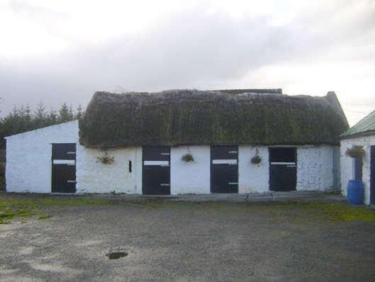 stablesstables · 1036 yd
 Mill (in ruins)Mill, unclassified · 1115 yd
 Sunday WellsHoly well · 1614 yd
 Askeaton CastleHeritage attraction · 1.9 mi
 Ballynash CastleCastle, unclassified · 2.5 mi
 Curraghchase Forest ParkForest · 2.7 mi
 European YewEuropean Yew · 2.7 mi
 Bawn in Castletown (kenry By.)Bawn · 2.8 mi
 Holly IslandIslet · 3.1 mi
 Greenish IslandIslet · 3.3 mi
 Courtbrown PointHeadland · 3.3 mi