What is recorded here
Situated on a natural rise, in pasture, with fairly good views in all directions and overlooking the Tang River c. 70m to NE. Depicted on the revised 1910 ed. OS 25-inch map as a large subcircular-shaped earthwork bisected by a farm trackway. Levelled monument described in 1979 as a roughly circular-shaped area (diam. 48m) bisected by a roadway running WNW-ESE across the monument. The perimeter is defined by a low scarp from WNW-N-E-ESE, on the N side of the roadway and is defined by the low remains of a levelled scarp from ESE-S-W-WNW, on the S side of the roadway. The N half of the interior has a N-facing slope and the S half has a S-facing slope and the surface is quite uneven. A disused quarry hole is situated in the W side of the natural rise on which the site is located. It has been partially infilled with field clearance stones. Levelled monument is traceable today as a roughly circular-shaped earthwork on Digital Globe aerial photography.
Compiled by Alison McQueen, Vera Rahilly and Caimin O’Brien.
Date of upload: 08 November 2019
The monument record does not grant public access. Check the route and ask the landowner before entering private land.
- What survives
- Recorded monument
Places near here
 EnclosureEnclosure, large enclosure · 671 yd
 Partially indicatedEnclosure · 903 yd
 Corn Mill, Tuck MillWater mill, vertical-wheeled · 1223 yd
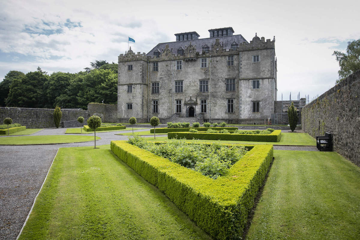 CastleCastle, unclassified · 1273 yd
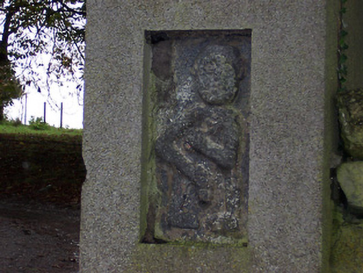 Ballycloghduff Houseunknown · 1289 yd
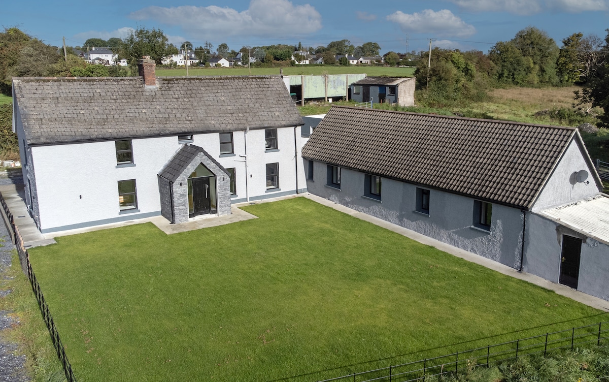 Bawn in DuneganBawn · 1.1 mi
 Dún na Sí Heritage CentreMuseum · 1.9 mi
 Dún na SíMuseum · 1.9 mi
 Charles BianconiMemorial · 2.3 mi
 Moate HillMountain / peak · 2.4 mi
 Japanese pagoda treeJapanese pagoda tree · 3.7 mi
 Roughan HillMountain / peak · 5.3 mi