
What is recorded here
Situated in pasture. Depicted on the revised 1910 ed. OS 25-inch map as a curvilinear field boundary defining a semicircular-shaped area (approx. diam. 100m) from E-S-WSW. Monument is visible today as a tree-lined curvilinear field boundary from E-S-WSW on Digital Globe aerial photography. There is no cropmark defining the N half of this potential enclosure.
Compiled by Alison McQueen, Vera Rahilly and Caimin O’Brien.
Date of upload: 08 November 2019
The monument record does not grant public access. Check the route and ask the landowner before entering private land.
- What survives
- Recorded monument
Places near here
 OutlinedFairy fort / earthen ringfort · 882 yd
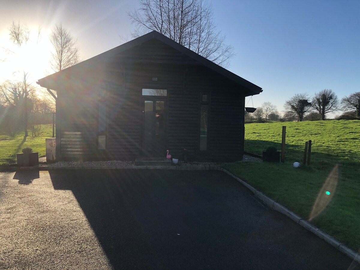 Enclosure in CooleenEnclosure · 943 yd
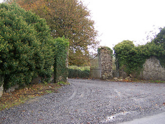 Shurock Housedemesne walls/gates/railings · 1108 yd
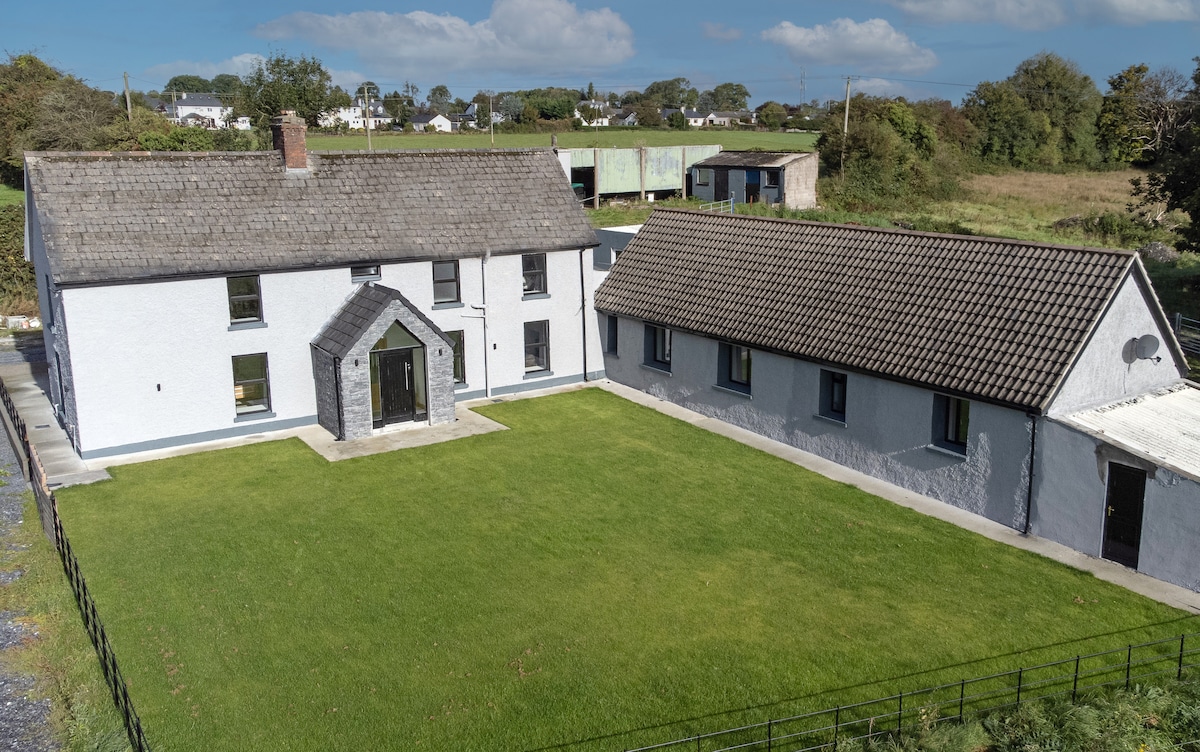 Bawn in DuneganBawn · 1585 yd
 Corn Mill, Tuck MillWater mill, vertical-wheeled · 1.1 mi
 CastleCastle, unclassified · 1.2 mi
 Dún na Sí Heritage CentreMuseum · 1.5 mi
 Dún na SíMuseum · 1.5 mi
 Charles BianconiMemorial · 1.9 mi
 Moate HillMountain / peak · 2.0 mi
 Japanese pagoda treeJapanese pagoda tree · 3.9 mi
 Roughan HillMountain / peak · 5.0 mi
Other information
Photo: Credit not shown in the picture search · Rights wording not checked; contact us if this picture should be removed