What is recorded here
Situated on the end of a high ridge (100m/328ft OD), in pasture, with commanding views of the surrounding landscape. Annotated ‘forts’ and ‘Raheenjones’ on the 1837 OS Fair Plan map where it is depicted as a large circular-shaped enclosure with a smaller conjoined circular-shaped earthwork adjoining to SE. Depicted on the revised 1910 ed. OS map as a large subrectangular-shaped earthwork with a smaller subrectangular-shaped earthwork adjoining to SE. Monument described in 1979 as no surface remains visible. Levelled monument is visible today as a two vague conjoined subcircular-shaped cropmarks on Digital Globe aerial photography.
Compiled by Alison McQueen, Vera Rahilly and Caimin O’Brien.
Date of upload: 08 November 2019
The monument record does not grant public access. Check the route and ask the landowner before entering private land.
- What survives
- Recorded monument
Places near here
 Partially indicatedEnclosure · 504 yd
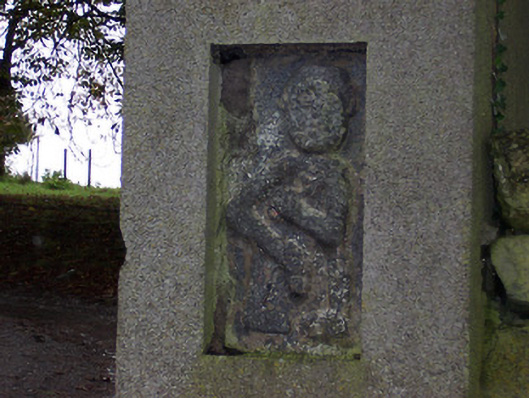 Ballycloghduff Houseunknown · 825 yd
 Corn Mill, Tuck MillWater mill, vertical-wheeled · 905 yd
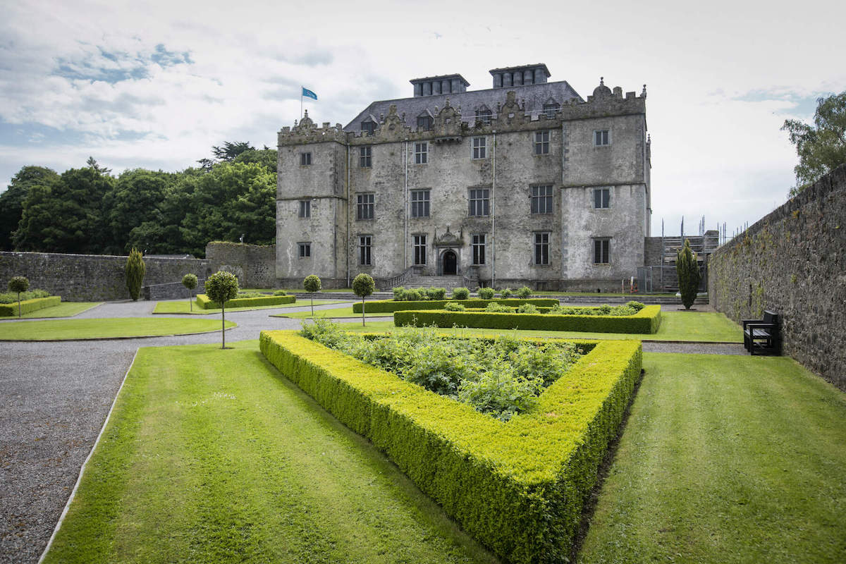 CastleCastle, unclassified · 915 yd
 OutlinedFairy fort / ringfort · 1214 yd
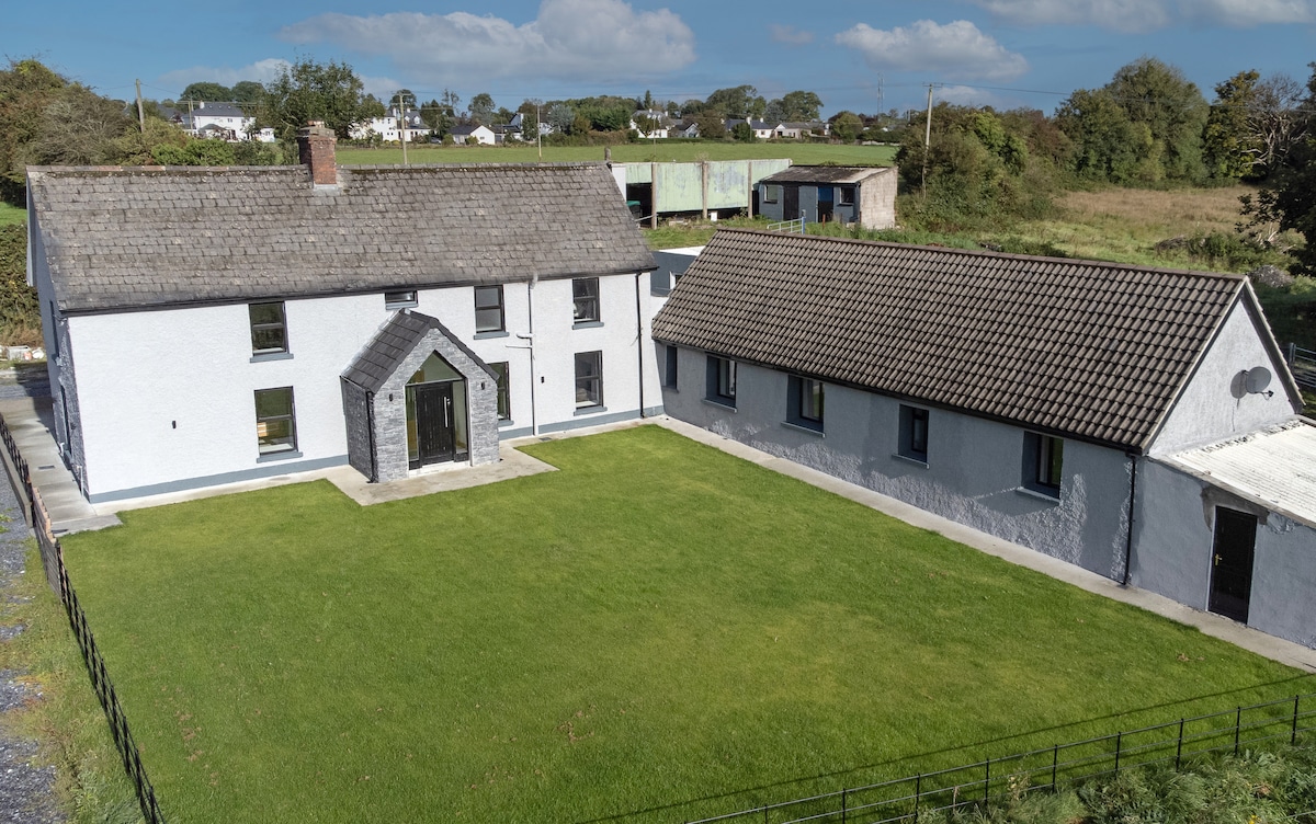 Bawn in DuneganBawn · 1733 yd
 Dún na Sí Heritage CentreMuseum · 2.1 mi
 Dún na SíMuseum · 2.1 mi
 Charles BianconiMemorial · 2.6 mi
 Moate HillMountain / peak · 2.8 mi
 Japanese pagoda treeJapanese pagoda tree · 4.2 mi