What is recorded here
Fairy fort / earthen ringfort in Ballydoogan is a fairy fort or earthen ringfort in Ballydoogan, County Westmeath, Ireland. The site sits at the end of a high ridge one hundred metres above sea level, offering commanding views of the surrounding landscape. Annotated as forts and Raheenjones on the 1837 Ordnance Survey Fair Plan, it appeared as a large circular enclosure with a smaller adjoining earthwork to the southeast. By 1979 no surface remains were visible, though the levelled monument appears as two vague conjoined subcircular cropmarks in Digital Globe aerial photography.
Situated on the end of a high ridge (100m/328ft OD), in pasture, with commanding views of the surrounding landscape. Annotated ‘forts’ and ‘Raheenjones’ on the 1837 OS Fair Plan map where it is depicted as a large circular-shaped enclosure with a smaller conjoined circular-shaped earthwork adjoining to SE. Depicted on the revised 1910 ed. OS map as a large subrectangular-shaped earthwork with a smaller subrectangular-shaped earthwork adjoining to SE. Monument described in 1979 as no surface remains visible. Levelled monument is visible today as a two vague conjoined subcircular-shaped cropmarks on Digital Globe aerial photography.
Compiled by Alison McQueen, Vera Rahilly and Caimin O’Brien.
Date of upload: 08 November 2019
The monument record does not grant public access. Check the route and ask the landowner before entering private land.
- What survives
- Recorded monument
Places near here
 Partially indicatedEnclosure · 504 yd
 Ballycloghduff Houseunknown · 825 yd
 Corn Mill, Tuck MillWater mill, vertical-wheeled · 905 yd
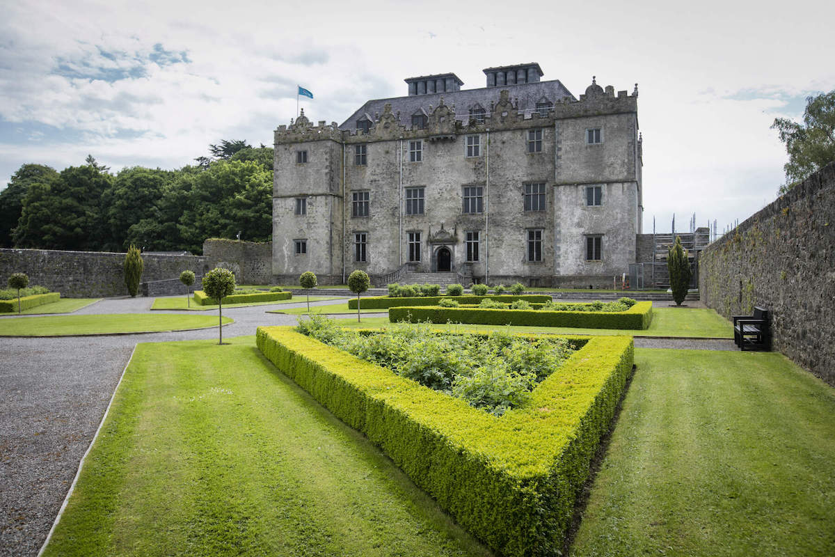 CastleCastle, unclassified · 915 yd
 OutlinedFairy fort / ringfort · 1214 yd
 Bawn in DuneganBawn · 1733 yd
 Dún na Sí Heritage CentreMuseum · 2.1 mi
 Dún na SíMuseum · 2.1 mi
 Charles BianconiMemorial · 2.6 mi
 Moate HillMountain / peak · 2.8 mi
 Japanese pagoda treeJapanese pagoda tree · 4.2 mi