What is recorded here
Fairy forts are not fairy forts. They are human ringforts, misnamed because people stopped remembering the humans who built them. Ballydaheen is one of those: a circular bank and ditch on an east-facing slope, now grazing land, still legible in soil and shadow. The fairies are a later excuse for forgetting. The shape is the truth. A family or clan lived there, defended there, and vanished from the story until the ground gave them back.
In pasture, on E-facing slope. Roughly circular raised area (23m E-W; 22m N-S) surrounded by shallow fosse (Wth 8m). Area reclaimed recently and edges difficult to define in parts. According to local information, grass not as lush in raised area when compared with remainder of field, also clearly visible as soilmark when field ploughed. Small circular enclosure visible as cropmark of bank and external fosse in aerial photograph (GSIAP, R522).
The above description is derived from the published 'Archaeological Inventory of County Cork. Volume 4: North Cork' (Dublin: Stationery Office, 2000). In certain instances the entries have been revised and updated in the light of recent research.
Date of upload/revision: 14 January 2009
The monument record does not grant public access. Check the route and ask the landowner before entering private land.
- What survives
- Recorded monument
Places near here
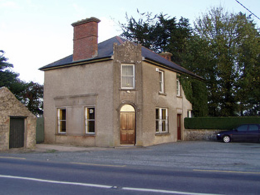 Griffin'shouse · 1271 yd
 Enclosure in BallyhimockEnclosure · 1363 yd
 Folacht FiadhFulacht fia · 1564 yd
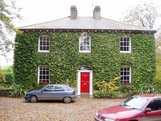 Wallstown Gleberectory/glebe/vicarage/curate's house · 1617 yd
 Shanballymore Castle (Site of)Castle, unclassified · 1.5 mi
 IndicatedCastle, tower house · 1.9 mi
 Anne's Grove GardensHeritage attraction · 2.0 mi
 Pedunculate OakPedunculate Oak · 2.6 mi
 Scots PineScots Pine · 2.9 mi
 Smith's WellSpring · 3.6 mi
 Flat cemetery in Ballyenahan NorthFlat cemetery · 4.9 mi
 Blackwater (Avondhu) WayWalking route · 5.7 mi