What is recorded here
Fairy fort in Ballydaheen is a broken earthen ring, forty metres across, still standing in level pasture. Its bank has been absorbed into a field fence, and a drainage ditch cuts across what may have been a threshold. The fort is not gone, but rearranged: human boundary work has taken the shape of an older enclosure and continued it.
In level pasture. Depicted as hachured circular enclosure (diam. c. 40m) on 1842 OS 6-inch map; as raised circular area on 1935 OS 6-inch map, topped by field boundary E->SSW. Roughly circular area (48m E-W; 42m N-S) enclosed by low earthen bank (int. H 0.4m; ext. H 0.5m). Bank incorporated into field fence system E->SSW; drainage ditch (D 1.2m) to outside. Interior grass covered; slopes gently down to SSE.
The above description is derived from the published 'Archaeological Inventory of County Cork. Volume 4: North Cork' (Dublin: Stationery Office, 2000). In certain instances the entries have been revised and updated in the light of recent research.
Date of upload/revision: 14 January 2009
The monument record does not grant public access. Check the route and ask the landowner before entering private land.
- What survives
- Recorded monument
Places near here
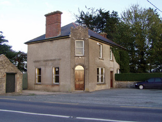 Griffin'shouse · 536 yd
 Enclosure in BallyhimockEnclosure · 1015 yd
 Johnsgrove Househouse · 1684 yd
 Fulacht fia in SkenakillaFulacht fia · 1.1 mi
 Shanballymore Castle (Site of)Castle, unclassified · 1.8 mi
 Anne's Grove GardensHeritage attraction · 2.0 mi
 IndicatedCastle, tower house · 2.1 mi
 Pedunculate OakPedunculate Oak · 2.6 mi
 Scots PineScots Pine · 2.9 mi
 Smith's WellSpring · 3.7 mi
 Flat cemetery in Ballyenahan NorthFlat cemetery · 5.2 mi
 Blackwater (Avondhu) WayWalking route · 5.5 mi