What is recorded here
In pasture (silage), on a NE-facing slope. A circular area (dims. c. 42m NE-SW; c. 38m NW-SE) defined by a bank (Wth at top 1.5m; overall Wth 7.2m; int. H 1.5m; ext. H 1.7m) and fosse (basal Wth 2.6m; overall 6.95m; D 1.1m). The bank is particularly substantial (Wth at top 3m; overall Wth 8.9m; int. H 1.2m; ext. H 1.35m) in the W quadrant and is reduced to scarp (Wth 2.5m; H 1m) downslope to NW-N-ENE. There are several gaps in the bank (Wth 2.5m at N; Wth 2.5m at NE; Wth 1.5m at S and Wth 3.5m at NW). The fosse is best preserved ENE-S-WSW and is shallow (basal Wth 1.6m; overall Wth 4.5m; D 0.4m) WSW-W-NW. The outer edge of the monument has been truncated by the remains of an old trackway running NE-SW across the NW sector. The interior is on a NE-facing slope.
Compiled by: Jean Farrelly
Date of upload: 26 August 2011
A fairy fort / earthen ringfort in Ballycullin is a circular early-medieval defensive or habitation site, likely dating to between the 5th and 10th centuries AD. Local folklore often associates such forts with the faé or supernatural beings, and they were sometimes avoided or revered by rural communities.
The monument record does not grant public access. Check the route and ask the landowner before entering private land.
- What survives
- Recorded monument
Places near here
 Fulacht fia in BallycullinFulacht fia · 815 yd
 Silver FirSilver Fir · 1017 yd
 European ashEuropean ash · 1092 yd
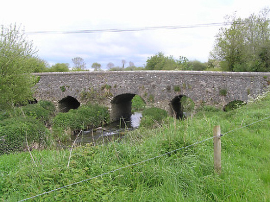 Ballycullin Bridgebridge · 1323 yd
 Kiln in Ballywalter (kilvemnon Par.)Kiln · 1456 yd
 IndicatedEnclosure · 1642 yd
 St. Johns Monastery (in ruins)Castle, hall-house · 1.8 mi
 Knockuragh HillMountain / peak · 2.7 mi
 (Site of) Drangan CastleCastle, unclassified · 2.9 mi
 The SpoutMemorial · 2.9 mi
 KnockahunnaMountain / peak · 3.3 mi
 Killamery High CrossVisitor information · 3.8 mi