
What is recorded here
In lush pasture, on a gentle S-facing slope. Waste material from a clay pipe kiln identified during excavations on the Cork-Dublin gas pipeline (Sleeman and Lane 1987, 157-8). The material indicates a late 17th/early 18th-century date for the kiln. No visible surface trace. Not shown on 1st (1840) ed. OS 6-inch map. Field boundaries removed to N.
Compiled by: Jean Farrelly
Date of revised upload: 29 September 2014
The monument record does not grant public access. Check the route and ask the landowner before entering private land.
- What survives
- Recorded monument
Places near here
 IndicatedEnclosure · 612 yd
 Fulacht fia in BallycullinFulacht fia · 642 yd
 Silver FirSilver Fir · 1044 yd
 European ashEuropean ash · 1227 yd
 Drummon Bridgebridge · 1.0 mi
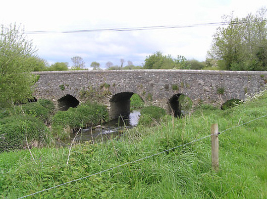 Ballycullin Bridgebridge · 1.4 mi
 St. Johns Monastery (in ruins)Castle, hall-house · 2.6 mi
 KnockahunnaMountain / peak · 2.7 mi
 Knockuragh HillMountain / peak · 2.7 mi
 (Site of) Drangan CastleCastle, unclassified · 2.8 mi
 The SpoutMemorial · 3.2 mi
 Killamery High CrossVisitor information · 4.3 mi
Other information
Photo: Credit not shown in the picture search · Rights wording not checked; contact us if this picture should be removed