
What is recorded here
In grove of mature trees, on a gentle S-facing slope. Identified during excavation of the Cork-Dublin gas pipeline (1981-2) (Cleary et al, 1987, 7) and consisting of an oblong grove (dims. 31m NNE-SSW; 6m ESE-WNW) defined by a low, thin bank of earth all around. A deep drain, running N-S, to immediate E runs into an E-W flowing stream to the S. The monument is respected by a forestry buffer zone (dims. 58m NNE-SSW; 48m ESE-WNW) NE-SE. It is not visible at ground level.
Compiled by: Jean Farrelly
Date of upload: 26 August 2011
The monument record does not grant public access. Check the route and ask the landowner before entering private land.
- What survives
- Recorded monument
Places near here
 Kiln in Ballywalter (kilvemnon Par.)Kiln · 642 yd
 Silver FirSilver Fir · 764 yd
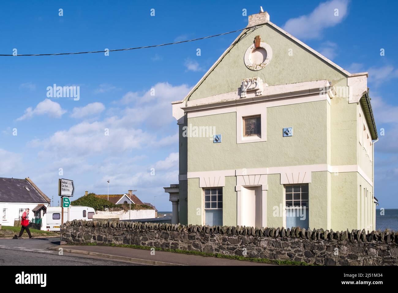 IndicatedEnclosure · 917 yd
 European ashEuropean ash · 946 yd
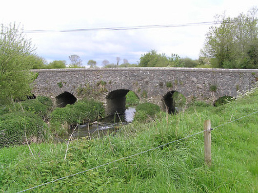 Ballycullin Bridgebridge · 1.1 mi
 Site of) Isertkieran ChurchChurch · 1.2 mi
 St. Johns Monastery (in ruins)Castle, hall-house · 2.2 mi
 Knockuragh HillMountain / peak · 2.7 mi
 (Site of) Drangan CastleCastle, unclassified · 2.8 mi
 KnockahunnaMountain / peak · 2.9 mi
 The SpoutMemorial · 3.1 mi
 Killamery High CrossVisitor information · 4.1 mi
Other information
Photo: Credit not shown in the picture search · Rights wording not checked; contact us if this picture should be removed