What is recorded here
Fairy fort / earthen ringfort in Ballycloghduff (kilkenny West By., Grogan Ed) is a fairy fort or earthen ringfort in Ballycloghduff (kilkenny West By., Grogan Ed), County Westmeath, Ireland. It sits at the top of a south-facing slope in wet undulating pasture, overlooking the Tang River to the southeast, and was depicted as a roughly circular-shaped earthwork on the revised 1910 edition Ordnance Survey 25-inch map. A 1979 description recorded the levelled monument as a roughly circular-shaped area measuring 26 metres from north to south and 28 metres from east to west, defined by a narrow, shallow fosse-like depression running from southwest through north to east and southeast, and by a low faint scarp from southeast to south. The interior was described as slightly uneven and appearing disturbed, while the site is visible today as a very faint roughly circular-shaped cropmark on Digital Globe aerial photography.
Situated at the top of a S-facing slope, in wet undulating pasture, overlooking the Tang River c. 70m to SE and with good views in all directions. Ringfort (WM030-017----) lies c. 65m to NE. Depicted on the revised 1910 ed. OS 25-inch map as a roughly circular-shaped earthwork. Levelled monument described in 1979 as a roughly circular-shaped area (dims. 26m N-S; 28m E-W) defined by a narrow, shallow fosse-like depression from S-W-N-E-SE and by a low faint scarp from SE-S. The interior is slightly uneven and appears to have been disturbed. Monument is visible today as a very faint roughly circular-shaped cropmark on Digital Globe aerial photography.
Compiled by Alison McQueen, Vera Rahilly and Caimin O’Brien.
Date of upload: 07 November 2019
The monument record does not grant public access. Check the route and ask the landowner before entering private land.
- What survives
- Recorded monument
Places near here
 Partially hachuredFairy fort / earthen ringfort · 381 yd
 Killeennadrawhouse · 1033 yd
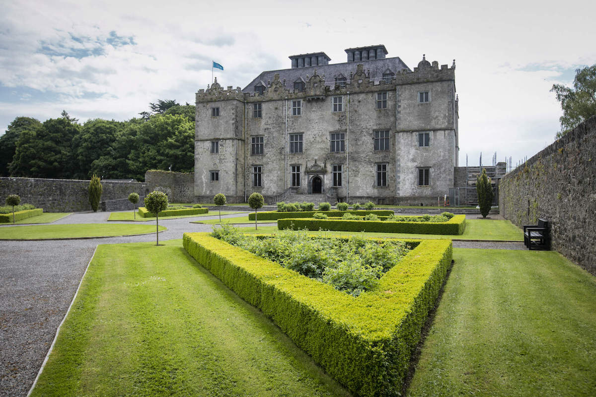 CastleCastle, unclassified · 1036 yd
 Corn Mill, Tuck MillWater mill, vertical-wheeled · 1070 yd
 Site of Lissanode CastleCastle, unclassified · 1468 yd
 Enclosure in MoyvoughlyEnclosure · 1499 yd
 Dún na Sí Heritage CentreMuseum · 3.1 mi
 Dún na SíMuseum · 3.1 mi
 Charles BianconiMemorial · 3.5 mi
 Japanese pagoda treeJapanese pagoda tree · 3.7 mi
 Moate HillMountain / peak · 3.7 mi