What is recorded here
Ballycloghan holds a thirty-four metre circular scar where human hands first folded earth into a living boundary. People may have breathed inside that curve before forgetting the name of the fort, leaving only a low ridge for cattle to step across.
On a gentle E-facing slope in pasture. A slightly raised circular area (diam. c. 34m) enclosed by a low bank of earth and stone (Wth 2.4m; H 0.2m), which has been modified and incorporated into an NE-SW field boundary from WNW-N-NNE. A report in 1976 (SMR file) recorded a shallow fosse at SE, which is no longer identifiable. The original entrance is not recognisable. The interior is bisected by a low E-W bank of earth and stone (Wth 1.3m; H 0.3m) with traces of an accompanying fosse.
Compiled by: Patrick F. O'Donovan
Date of upload: 26 August 2011
The monument record does not grant public access. Check the route and ask the landowner before entering private land.
- What survives
- Recorded monument
Places near here
 Burnt spread in BallycloghanBurnt spread · 133 yd
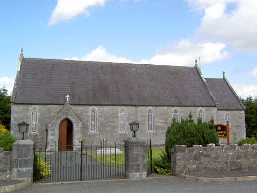 Saint Anne's Catholic Churchchurch/chapel · 327 yd
 Druming Ho. (in ruins)Castle, unclassified · 1245 yd
 FortsFairy fort / earthen ringfort · 1409 yd
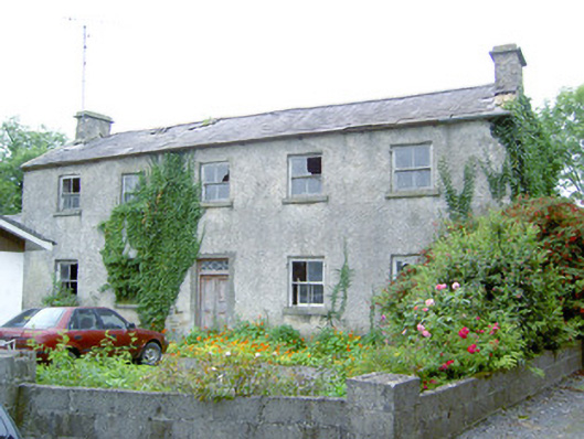 Keel Househouse · 1.2 mi
 CastleCastle, motte · 1.3 mi
 National Famine WayWalking route · 2.5 mi
 Pedunculate OakPedunculate Oak · 3.6 mi
 Common AlderCommon Alder · 4.1 mi
 Abbeyshrule AbbeyRuins · 5.0 mi
 Graveyard in Curry (ardagh By., Coolamber Ed)Graveyard · 5.7 mi
 Leveret IslandIslet · 11 mi