What is recorded here
Fairy fort / earthen ringfort in Ballybeg (Newchapel parish) is a fairy fort or earthen ringfort in Ballybeg (Newchapel parish), County Tipperary, Ireland. It occupies a low broad flat ridge that slopes gently east and west, with ponds beyond the field bank to the north and east. The grass-covered monument contains a raised roughly circular area 21.7 metres north-south and 22.6 metres east-west, enclosed by a denuded bank that measures 2.8 metres across its crest and 6.7 metres at its base in the stronger southern half. A field bank runs from southwest through west to north and north-northeast around the site, while a short eight-metre fosse appears at the bank base in the southwest quadrant.
On low broad flat ridge, sloping gently to E and W. Pond immediately beyond field bank to N and another to E. Ringfort under grass. It consists of a raised, roughly circular area (diam. 21.7m N-S; 22.6m E-W) enclosed by a denuded bank, particularly evident in the S half of the monument (Wth. 2.8m crest, 6.7m base; H above int. 0.12m; H above ext. 1m) but also visible in N sector (Wth 1.6m crest, 3m base; H above int. 0.05m; H above ext. 0.48m). Former lazy bed cultivation visible in interior, running roughly E-W. Ringfort is surround by field bank running from SW-W-N-NNE. Field boundary then kinks out and runs past E side. Short length of fosse (8m) evident at base of bank in SW quadrant (Wth 2.2m). Bank is partially truncated in SE quadrant by cattle exposing a clay bank with high stone content. Some thorn bushes surmount the bank at this point.
Compiled by: Jean Farrelly
Date of upload: 26 August 2011
The monument record does not grant public access. Check the route and ask the landowner before entering private land.
- What survives
- Recorded monument
Places near here
 Site of ChurchChurch · 1021 yd
 BatteryBawn · 1065 yd
 Old BallyclerihanArchaeological place · 1501 yd
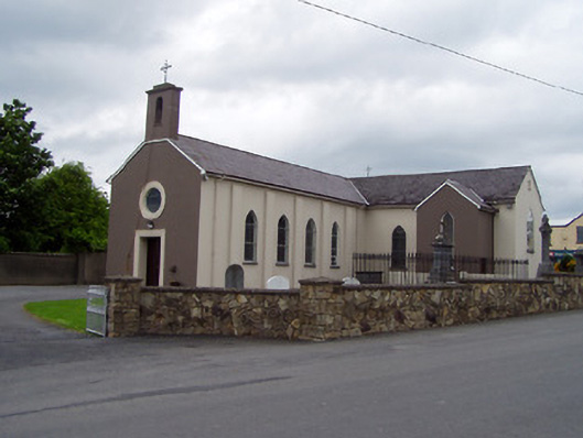 Saint Michael's Catholic Churchchurch/chapel · 1534 yd
 Ballyclerahan Church (in ruins)Church · 1739 yd
 CastleCastle, unclassified · 1.2 mi
 Pedunculate OakPedunculate Oak · 1.3 mi
 Persian WalnutPersian Walnut · 3.7 mi
 Kilknockan HillMountain / peak · 5.1 mi
 Francis HopkinsMemorial · 5.5 mi
 John HackettMemorial · 5.5 mi
 Main GuardHeritage attraction · 5.5 mi