What is recorded here
Fairy fort in Ballybeg, County Longford: a raised oval knoll, 43m by 38m, with a 2m scarp and a wide rock-cut fosse visible only from the southwest through north-east. The entrance has vanished, perhaps buried by grass or hidden by time, leaving the ring closed like a secret kept. Cattle graze around it now, unaware they walk the edge of an old boundary.
On a knoll in gently undulating pasture. A raised oval area (c. 43m N-S; c. 38m E-W) defined by a scarp (H 1.8-2.4m) with a wide, deep, partially rock-cut, external fosse (Wth 2.8m; D 1m), which is identifiable only from SW-N-NNE. The original entrance is not recognisable.
Compiled by: Patrick F. O'Donovan
Date of upload: 26 August 2011
The monument record does not grant public access. Check the route and ask the landowner before entering private land.
- What survives
- Recorded monument
Places near here
 IndicatedFairy fort / earthen ringfort · 331 yd
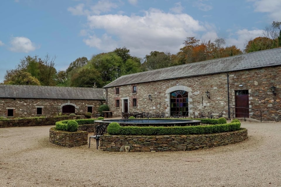 Enclosure in BallybegEnclosure · 429 yd
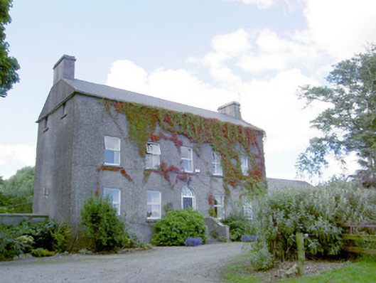 Richmount Hillhouse · 579 yd
 CastleCastle, motte · 661 yd
 Church (in Ruins)Church · 1.1 mi
 DoonphilipCastle, motte · 1.3 mi
 National Famine WayWalking route · 3.2 mi
 Goldsmith Birthplace, PallasVisitor information · 4.0 mi
 Newcastle WoodsForest · 4.1 mi
 Target WoodWood · 4.3 mi
 Craft WorkshopHeritage attraction · 4.7 mi
 Guest ServicesVisitor information · 4.7 mi