What is recorded here
No visible mound, no standing stone, no broken chamber. Only a faint circular ridge in grassland, perhaps thirty metres across, with a field wall cutting through one side. The shape still exists, but human memory has largely left it behind. What is certain is that the land once held a boundary, a home, a fortress or a marker. What is lost is the life that gave the shape its meaning.
In gently rolling grassland. On inspection in August 1984 this very poorly preserved roughly subcircular rath (diam. 32m) was defined by a levelled earthen bank (Wth 6m). An E-W running field wall clipped the monument at N.
Compiled by: Galway Archaeological Survey, UCG
Date of upload: 8 February 2019
The monument record does not grant public access. Check the route and ask the landowner before entering private land.
- What survives
- Recorded monument
Places near here
 IndicatedFairy fort / earthen ringfort · 235 yd
 Man-made underground passage in Ballybaun (lackalea Ed)Man-made underground passage · 456 yd
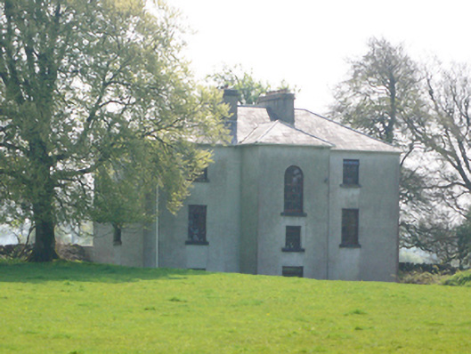 Lynchfort Househouse · 978 yd
 Quarry in CaherhenryhoeQuarry · 1054 yd
 Bawn in Cahernamuck WestBawn · 1384 yd
 Raruddy Castle (in ruins)Castle, tower house · 1.3 mi
 Turoe StoneHeritage attraction · 1.9 mi
 Barrack IslandIslet · 2.9 mi
 Blake's IslandIslet · 2.9 mi
 Long PointHeadland · 3.8 mi
 Moyard WoodWood · 5.0 mi
 Dartfield Horse MuseumHeritage attraction · 5.0 mi