What is recorded here
Fairy forts are not for humans. They belong to the hidden people who still own the hills. We may look at them from a distance. We must not touch them, dig in them, or carry anything home from them. What is taken must be returned before sunset. What is dug may never be covered again.
In pasture, atop hill. Circular area (diam. 39m) enclosed by earthen bank (int. H 1m; ext. H 1.6m) SSW->NW; scarp (H 0.6m) elsewhere. Bank incorporated into field boundary system; stone faced similar to surrounding fences.
The above description is derived from the published 'Archaeological Inventory of County Cork. Volume 4: North Cork' (Dublin: Stationery Office, 2000). In certain instances the entries have been revised and updated in the light of recent research.
Date of upload/revision: 14 January 2009
The monument record does not grant public access. Check the route and ask the landowner before entering private land.
- What survives
- Recorded monument
Places near here
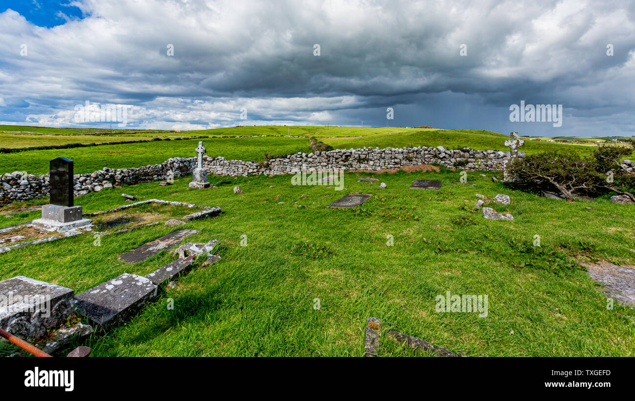 Killeenuna Burial Gd (Disused)Burial ground · 425 yd
 KilnKiln, lime · 455 yd
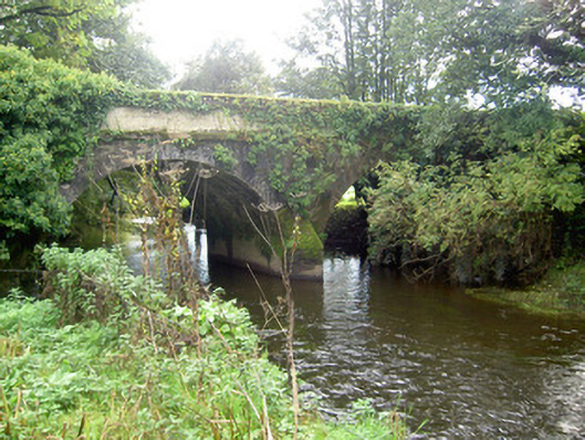 John's Bridgebridge · 726 yd
 Fulacht FiadhFulacht fia · 1207 yd
 Stanner's Glen, Priory WoodWood · 3.4 mi
 Battle of LiscarrollMajor battlefield · 3.5 mi
 Carrig Castle (Site of)Castle, unclassified · 3.5 mi
 Liscarroll CastleCastle · 3.5 mi
 Hanna SheehyMemorial · 4.5 mi
 Burial ground in AssolasBurial ground · 5.0 mi
 European YewEuropean Yew · 5.0 mi
 Graveyard in Ballygiblin (duhallow By.)Graveyard · 5.7 mi