What is recorded here
Fairy fort / earthen ringfort in Ballyart is a small earthen ring in County Limerick, Ireland, set beside a tributary of the Mulkear River. It measures about twenty-five metres east-west and twenty metres north-south, with views to the west and south. Dense scrub now hides much of the circle, but the land still holds the shape of a place people made visible before forgetting its name.
Situated immediately S of a tributary of the Mulkear River in undulating pasture, with good views to W and S. Monument depicted on the 1923 OS 6-inch map as a roughly circular enclosure (c. 25m E-W; 20m N-S) is now obscured by dense scrub vegetation.
Compiled by: Denis Power
Date of upload: 21 June 2013
The monument record does not grant public access. Check the route and ask the landowner before entering private land.
- What survives
- Recorded monument
Places near here
 Enclosure in Castle-Erkin NorthEnclosure · 681 yd
 Enclosure in Grange EastEnclosure · 749 yd
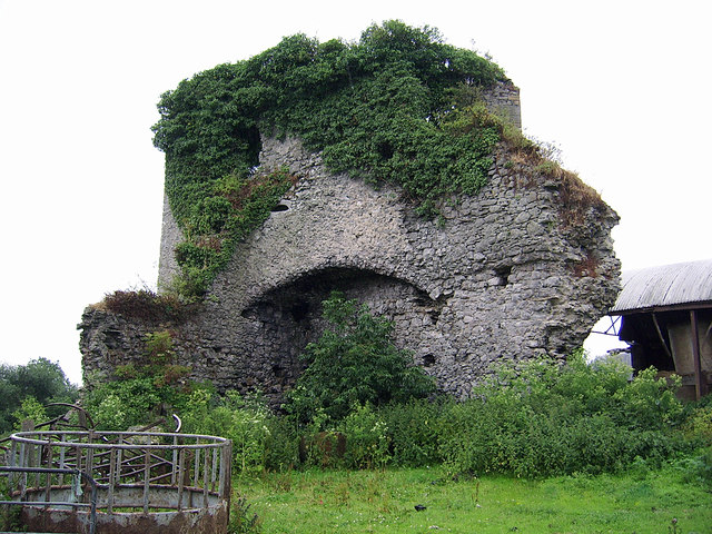 CastleCastle, motte and bailey · 1006 yd
 Castle (in ruins)Castle, Anglo-Norman masonry castle · 1181 yd
 Brittas Bridgebridge · 1322 yd
 Eyon Housecountry house · 1.1 mi
 Graveyard in AbingtonGraveyard · 2.2 mi
 Sliev Felim WayVisitor information · 3.6 mi
 KnockseefinMountain / peak · 3.7 mi
 ToberagaddySpring · 4.7 mi
 St. Patrick's WellSpring · 5.2 mi
 Kilteely HillMountain / peak · 5.6 mi