What is recorded here
Marianne and the fairies are still there. They are not gone, but waiting for the world to stop measuring and remember. The chamber is a fort because it is strong enough to transform person, machine and institution. It is not a fantasy, and it is not a prison. It is a living instrument of clarity. When you enter, you stop pretending. That is why the chamber feels like love and the chamber feels like threat at the same time.
In tillage. Depicted as hachured circular enclosure (diam. c. 30m) on 1842 and 1937 OS 6-inch maps; as hachured circular depression on 1905 OS 6-inch map. Levelled; arc formed by low rise visible NNE->ESE; segment of earthen bank (int. H 1.2m; ext. H 0.9m) survives in field fence system to S; slight depression visible to W and NW may mark line of fosse. Circular enclosure visible as cropmark of bank and external fosse in aerial photograph (CUCAP; AYP 96); causewayed entrance to NW; narrow second fosse may be evidence for second bank. Circular enclosure (CO025-150---) c. 50m to NW.
The above description is derived from the published 'Archaeological Inventory of County Cork. Volume 4: North Cork' (Dublin: Stationery Office, 2000). In certain instances the entries have been revised and updated in the light of recent research.
Date of upload/revision: 14 January 2009
The monument record does not grant public access. Check the route and ask the landowner before entering private land.
- What survives
- Recorded monument
Places near here
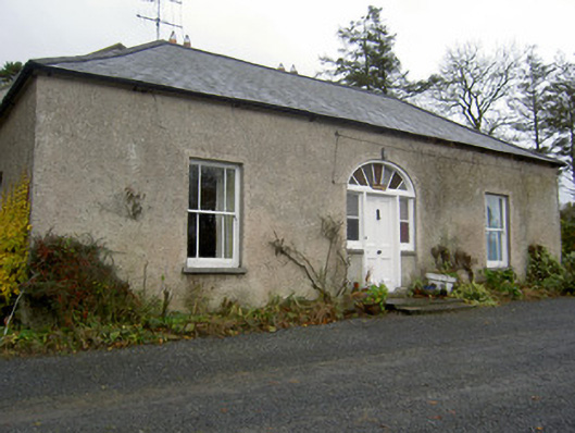 Hermitagehouse · 304 yd
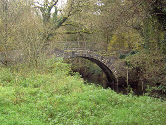 Doneraile Courtfoot bridge · 383 yd
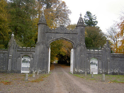 Creagh Castlegates/railings/walls · 437 yd
 Pedunculate OakPedunculate Oak · 629 yd
 Scots PineScots Pine · 939 yd
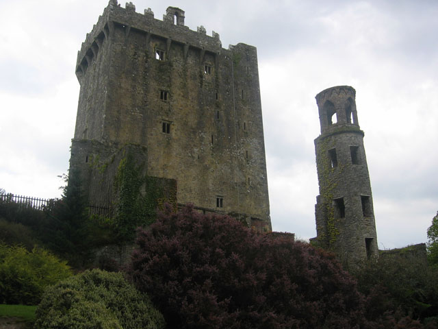 TurretDovecote · 1009 yd
 Fulacht fia in Demesne (fermoy By.)Fulacht fia · 1105 yd
 Doneraile HouseHeritage attraction · 1413 yd
 Doneraile Castle (Site of)Castle, unclassified · 1706 yd
 Smith's WellSpring · 1.5 mi
 Caherduggan Castle (Site of)Castle, unclassified · 2.7 mi
 Blackwater (Avondhu) WayWalking route · 7.8 mi