What is recorded here
Fairy fort in Ballyallinan South is a 30m earthen ring with a shallow outer ditch, partly hidden by vegetation and touched by a modern garden. It may have been a home, a boundary marker, or a place people avoided at night. The dip in the bank suggests an entrance, while the widened southern arc resists forgetting.
In pasture, on very gentle N-facing slope. Circular area (diam. c. 30m) enclosed by earthen bank (int. H 0.7m; ext. H 1.4m), with external fosse (Wth 1.2m; D 0.35m) WNW->SW. A dwelling house was recently built immediately to SW with its garden bordering external base of bank SW->WNW. Bank, heavily masked by vegetation overgrowth, is best preserved along S arc where bank widens along top (Wth 2m). Dip in bank (Wth 4.5m) at NNE. Interior covered with dense vegetation overgrowth and some fallen trees have caused root damage to surface. Field boundary, depicted abutting enclosure at WNW on 1923 OS 6-inch map, has been removed.
Compiled by: Denis Power
Date of upload: 26 August 2011
This remains an important historical record, but the official description says the monument is no longer visible or has been destroyed. The monument record does not grant public access. Check the route and ask the landowner before entering private land.
- What survives
- No visible remains or recorded as destroyed
Places near here
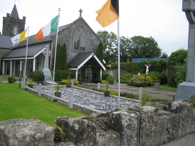 BarrowBarrow, unclassified · 626 yd
 CastleCastle, tower house · 1119 yd
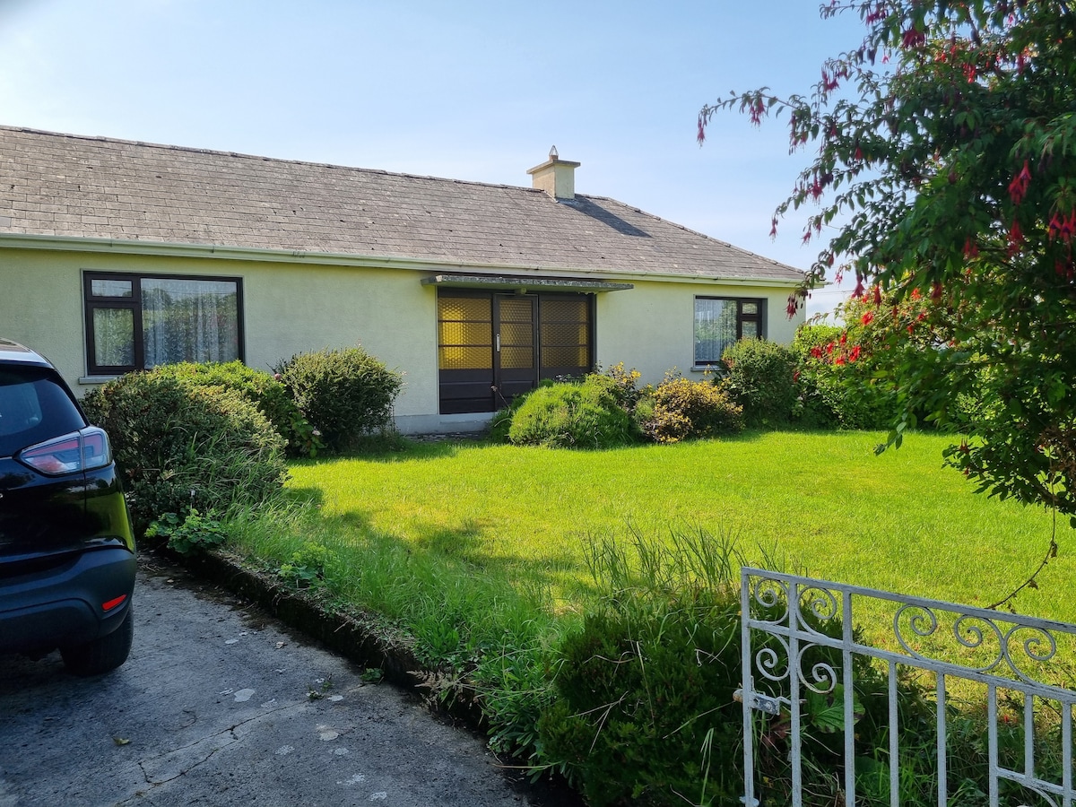 Enclosure in Loghill (connello Lower By.)Enclosure · 1149 yd
 European ashEuropean ash · 1275 yd
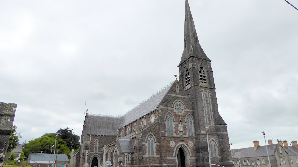 Church (in Ruins)Church · 1304 yd
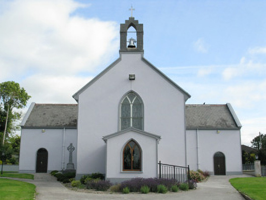 Saint Munchin's Catholic Churchchurch/chapel · 1635 yd
 LaghtpatrickSpring · 2.1 mi
 TobernablahySpring · 2.7 mi
 Ballynoe Castle (in ruins)Castle, tower house · 2.8 mi
 Limerick GreenwayWalking route · 7.4 mi
 Sugar HillMountain / peak · 8.8 mi
 Ballagh MountainMountain / peak · 9.1 mi