What is recorded here
Fairy fort in Ballyallinan South: a 31-metre earthen ring in marshy Limerick pasture, its shallow bank still marking the line where human hands shaped the land. Cattle graze above it now, field drains curling around its base, while the forgotten centre dips slightly downward like a cupped palm. People may have lived there, excluded rain or simply owned a circle of earth; the names changed, but the ring stayed visible enough to resist forgetting.
In level marshy pasture. Circular area (30.5m N-S; 31m E-W) enclosed by earthen bank (int. H 0.2m; ext. H 0.65m), best preserved NNW->NE. Field drains skirt around external base of bank NE->SSW. Interior, under pasture, slopes down gently towards centre.
Compiled by: Denis Power
Date of upload: 26 August 2011
The monument record does not grant public access. Check the route and ask the landowner before entering private land.
- What survives
- Recorded monument
Places near here
 BarrowBarrow, unclassified · 343 yd
 CastleCastle, tower house · 820 yd
 St. Bernards WellHoly well · 1105 yd
 European ashEuropean ash · 1121 yd
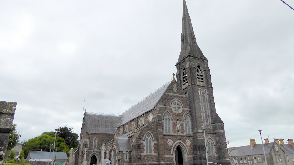 Church (in Ruins)Church · 1150 yd
 Reens Househouse · 1.4 mi
 TobernablahySpring · 2.2 mi
 St. Kieran's WellSpring · 2.3 mi
 Castle MatrixCastle, tower house · 2.4 mi
 Limerick GreenwayWalking route · 7.4 mi
 Sugar HillMountain / peak · 8.9 mi
 Ballagh MountainMountain / peak · 9.5 mi