What is recorded here
Fairy fort in Ballinruane, County Limerick: a 36 m circular rath on an NE-facing pasture slope, its earthen bank standing 1.3 m outside and dropping to 0.4 m inside, with a waterlogged fosse around it except where dumped field-boundary material filled the WSW to NNW stretch. A two-metre gap at the north west still marks the entrance, though trees and bushes have strangled most of the line. People may have lived, herded or hidden there before the fields changed; the fairies, according to local story, took the rest back and keep the fort closed to ordinary business.
In pasture, on NE-facing slope. Circular area (diam. 36m) enclosed by earthen bank (int. H 0.4m; ext. H 1.3m) with external fosse (D 1.4m; Wth 2m). Fosse waterlogged except WSW->NNW where filled with dumped material from removed field boundaries. Gap (Wth 2m) in bank at NW. Entire site is overgrown by trees and bushes.
Compiled by: Denis Power
Date of upload: 26 August 2011
The monument record does not grant public access. Check the route and ask the landowner before entering private land.
- What survives
- Recorded monument
Places near here
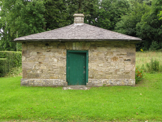 Heathfield Housegate lodge · 739 yd
 BarrowBarrow, ring-barrow · 1018 yd
 Moated site in BallinruaneMoated site · 1108 yd
 CastleCastle, unclassified · 1750 yd
 Church (in ruins)Church · 1.2 mi
 Garbally WellSpring · 2.0 mi
 Mayne Ho.Castle, unclassified · 2.7 mi
 ToberhoranSpring · 2.9 mi
 Famine stoneMemorial · 5.0 mi
 National Co-op MuseumMuseum · 5.2 mi
 KnockfeerinaMountain / peak · 5.3 mi
 Ballagh MountainMountain / peak · 8.8 mi