What is recorded here
Fairy fort in Ballinrea, County Cork: an earthen ringfort buried under tillage on an east-west ridge, marked only by a slight rise and heavier stone scatter. People farmed around it for generations, trusting the local name more than they trusted their own ploughs. The fort may have been a home, a boundary, or a warning; the stones still break the soil like teeth.
In tillage, atop E-W ridge. According to local information, site of "fort". Slight rise in area of site; stone scatter heavier than elsewhere in field.
The above description is derived from the published 'Archaeological Inventory of County Cork. Volume 2: East and South Cork' (Dublin: Stationery Office, 1994). In certain instances the entries have been revised and updated in the light of recent research.
Date of upload/revision: 14 January 2009
The monument record does not grant public access. Check the route and ask the landowner before entering private land.
- What survives
- Recorded monument
Places near here
 Burnt spread in BallinreaBurnt spread · 721 yd
 Enclosure in BallinreaEnclosure · 766 yd
 Pauper's GraveyardArchaeological place · 1386 yd
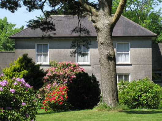 Knockmore Househouse · 1506 yd
 Country house in CastletreasureCountry house · 1.4 mi
 Castle Treasure (Site of)Castle, unclassified · 1.4 mi
 Ballea CastleCastle, tower house · 1.5 mi
 Mulcon ValleyWood · 1.9 mi
 Ballybrack WoodsWood · 2.1 mi
 Cork WalksVisitor information · 4.8 mi
 Lavitts QuayMemorial · 4.9 mi
 Mount Hillary - Knightfield LoopWalking route · 27 mi