What is recorded here
Situated on fairly level ground, in pasture, with fairly good views to S and SW. Bivallate enclosure described in 1977 as a roughly circular-shaped area (dims. approx. 34m E-W; 33m N-S) enclosed by an earthen bank, an intervening fosse and an outer bank. The fosse is deep, wide and is best preserved from WNW-NW-N-NNE and is shallower elsewhere, particularly from SSE-S- and from SW-W. There are slight traces of an outer bank. The perimeter has been straightened from NE-E-SE where a field fence running NE-SW runs into the monument at the NE and continues around the perimeter before continuing to the SW. There is no indication of an original entrance. The interior has a slight S-facing slope and is fairly even. There is a large quarry depression just outside the monument at ESE. Monument is visible today as a circular-shaped earthwork on Digital Globe aerial photography.
Compiled by Alison McQueen, Vera Rahilly and Caimin O’Brien.
Date of upload: 22 November 2019
The monument record does not grant public access. Check the route and ask the landowner before entering private land.
- What survives
- Recorded monument
Places near here
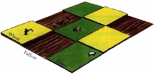 Field system in BallinlabanField system · 526 yd
 St. Davids WellHoly well · 735 yd
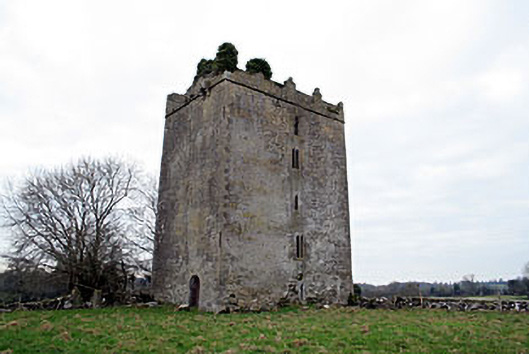 Donore Castlecastle/fortified house · 1167 yd
 OutlinedCastle, unclassified · 1183 yd
 Coolalough Housefarmyard complex · 1585 yd
 Bawn in CoolaloughBawn · 1621 yd
 Kilmalady HillMountain / peak · 2.6 mi
 Chapel HillForest · 4.6 mi
 High WoodWood · 4.6 mi
 Bonfire HillMountain / peak · 4.6 mi
 St. Columba's WellSpring · 4.9 mi
 ToberaskeenSpring · 5.3 mi