What is recorded here
Situated on a flat platform in a poorly drained marshy area with a stream to the N. A barely discernible circular area (diam. 24m E-W) defined by a poorly preserved scarp (H 0.3m) with possible fosse (Wth 3m; D 0.2m) visible from N to NE only. Field fences intersect the site at NE and E.
The above description is derived from 'The Archaeological Inventory of County Tipperary. Vol. 1 - North Tipperary' compiled by Jean Farrelly and Caimin O'Brien (Dublin: Stationery Office, 2002). In certain instances the entries have been revised and updated in the light of recent research.
Date of upload/revision: 22 September 2008
A local fairy fort (ringfort/rath); wider significance not recorded.
- Townland
- Ballingeer
- Official type
- Ringfort - rath
- Official record
- TN019-010001-
- What survives
- Recorded monument
- Location
- Official recorded centre point
The monument record does not grant public access. Check the route and ask the landowner before entering private land.
Places near here
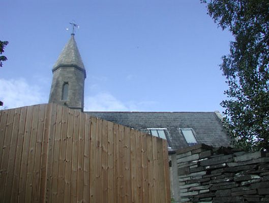 Castletown Church (Castletownarra)church/chapel · 455 yd
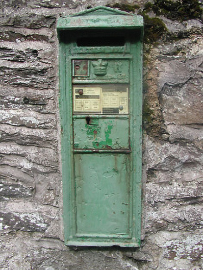 post box — Castletownpost box · 465 yd
 Patricks Well — CloneybrienHoly well · 924 yd
 Enclosure in LisheenbrienEnclosure · 1162 yd
 Castle in ruins — Castletown (castletownarra Par.)Castle — unclassified · 1305 yd
 Millenium CrossHeritage attraction · 1469 yd
 Saint Patrick's RockNamed rock · 1490 yd
 Laghtea HillMountain / peak · 1571 yd
 Indicated — Castletown (castletownarra Par.)Castle — unclassified · 1679 yd
 Corbally HillMountain / peak · 1.7 mi
 Giant's GraveArchaeological place · 1.9 mi
 Crow IslandIslet · 1.9 mi