
What is recorded here
Situated on a S-facing slope of rising ground in an upland area. Not visible at ground level.
The above description is derived from 'The Archaeological Inventory of County Tipperary. Vol. 1 - North Tipperary' compiled by Jean Farrelly and Caimin O'Brien (Dublin: Stationery Office, 2002). In certain instances the entries have been revised and updated in the light of recent research.
Date of upload/revision: 22 September 2008
The monument record does not grant public access. Check the route and ask the landowner before entering private land.
- What survives
- Recorded monument
Places near here
 Enclosure in Drum (castletownarra Par.)Enclosure · 888 yd
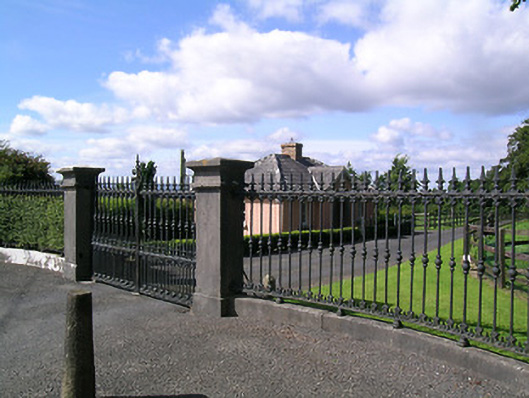 Landsdown Housedemesne walls/gates/railings · 939 yd
 schoolschool · 1223 yd
 Enclosure in Curragh (castletownarra Par.)Enclosure · 1233 yd
 Castle in ruinsCastle, unclassified · 1.3 mi
 Saint Patrick's RockNamed rock · 1.3 mi
 Giant's GraveArchaeological place · 1.3 mi
 Corbally HillMountain / peak · 1.4 mi
 Millenium CrossHeritage attraction · 1.4 mi
 Laghtea HillMountain / peak · 1.4 mi
 CastleCastle, unclassified · 1.5 mi
 CopperminesCave · 2.1 mi
Other information
Photo: Credit not shown in the picture search · Rights wording not checked; contact us if this picture should be removed