What is recorded here
Ballingarrane held a twenty-four metre earthen ring on a north-west facing slope, visible on the 1923 map before ploughs and pasture erased most of its edge. The surviving bank rises only fifteen centimetres inside and thirty outside, thin enough for a boot to crush yet distinct enough to mark a abandoned human boundary. An electricity pole now stands where the south-east quadrant may have curved, turning an ancient household into a modern utility anchor.
In pasture, on break in NNW-facing slope. Monument, depicted as embanked circular enclosure (diam. c. 25m) on 1923 OS 6-inch map, has been levelled. However, a low earthen bank (int. H 0.15m; ext. H 0.3m) survives W->NE (diam. 24m E-W). Interior level and under pasture. An ESB pole stands in SE quadrant.
Compiled by: Denis Power
Date of upload: 26 August 2011
The monument record does not grant public access. Check the route and ask the landowner before entering private land.
- What survives
- Recorded monument
Places near here
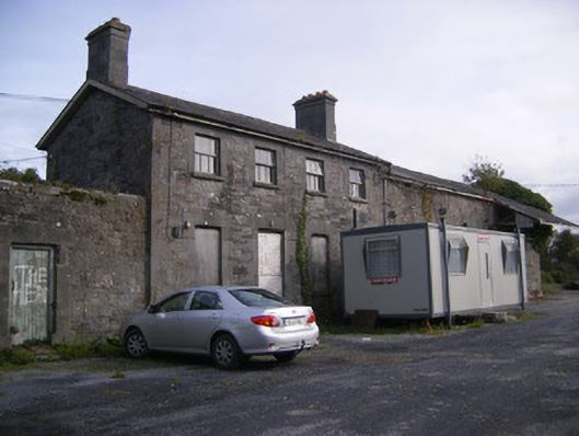 Ballingarrane Junction Railway Stationrailway station, signal box · 441 yd
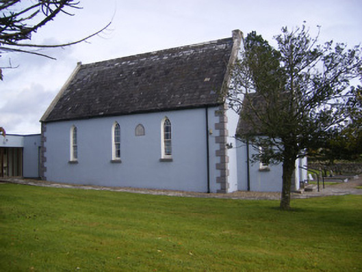 Embury and Heck Memorial Methodist Churchchurch/chapel · 454 yd
 Enclosure in BallingarraneEnclosure · 536 yd
 Burnt mound in BallingarraneBurnt mound · 1013 yd
 Bawn in StonevilleBawn · 1248 yd
 Cappagh CastleCastle · 1.8 mi
 Flat cemetery in CroaghFlat cemetery · 2.4 mi
 TobernablahySpring · 2.6 mi
 St. Kieran's WellSpring · 3.6 mi
 Askeaton CastleHeritage attraction · 3.9 mi
 Little HeavenHeritage attraction · 4.1 mi
 European ashEuropean ash · 4.3 mi