What is recorded here
No visible surface trace remains of the double-ramparted ringfort in Ballinbeg, though maps from 1842 and 1902 marked a thirty-metre circle cut by trackways. Power described a conjoint lios of two parts in 1940, suggesting joined dwellings rather than a single defensive hedge. The earth has returned the site to tillage, erasing the boundary between human occupation and open field.
In tillage, on E-facing slope. Shown on 1842 and 1902 OS 6-inch maps as circular enclosure (diam. c. 30m), cut to N and W by trackways. S bank conjoined to another possible ringfort (CO088-03802-). According to Power (1940, 17) '...on the townland is a conjoint lios, of two parts - both double-ramparted'. No visible surface trace.
The above description is derived from the published 'Archaeological Inventory of County Cork. Volume 2: East and South Cork' (Dublin: Stationery Office, 1994). In certain instances the entries have been revised and updated in the light of recent research.
Date of upload/revision: 14 January 2009
A fairy fort or earthen ringfort in Ballinbeg, likely dating to the early medieval period, is represented by a circular enclosure of about 30 meters in diameter, partly cut by trackways. It appears on 19th-century Ordnance Survey maps and is associated with local folklore surrounding fairy activity, as suggested by its name and the common Irish tradition linking such sites to supernatural beings.
The monument record does not grant public access. Check the route and ask the landowner before entering private land.
- What survives
- Recorded monument
Places near here
 St Marys Catholic ChurchChurch · 700 yd
 Enclosure in KnockboghilEnclosure · 1456 yd
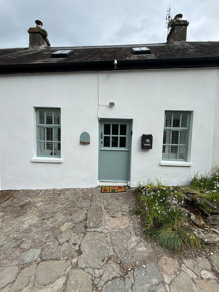 Enclosure in BallynookeryEnclosure · 1466 yd
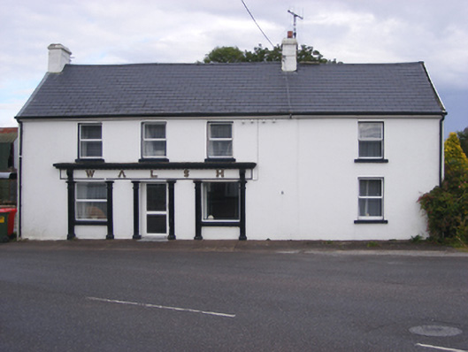 Walshhouse · 1.4 mi
 RobertMemorial · 1.5 mi
 Graveyard in AghadaGraveyard · 1.7 mi
 CastleCastle, unclassified · 1.8 mi
 (Site of) CastleCastle, unclassified · 1.9 mi
 InchBeach / strand · 1.9 mi
 Fossil Worm TrackNamed rock · 1.9 mi
 US Naval Air Station USNAS QueenstownHeritage attraction · 2.0 mi
 Titanic Memorial GardenHeritage attraction · 4.5 mi