What is recorded here
Fairy fort / earthen ringfort in Ballinaspick or Bishopstown is a fairy fort or earthen ringfort in Ballinaspick or Bishopstown, County Westmeath, Ireland. A 1971 account describes the monument as a raised oval-shaped flat-topped platform measuring 19.3 metres north to south and 13.4 metres east to west, situated on a prominent rise in gently undulating pasture. The structure is defined by a steep scarp that is best defined from southwest through west to north to east-northeast, while the ground has been levelled from east-northeast through east to south. No visible trace of an external fosse was recorded, and no clear entrance feature was visible during that inspection.
Situated on top of a small, yet prominent rise, in gently undulating pasture with excellent views to W and NW. Monument described in 1971 as a raised oval-shaped flat-topped platform (dims. 19.3m N-S; 13.4m E-W) defined by a steep scarp best defined from S-W-N-ENE and has been levelled from ENE-E-S. There is no visible trace of an external fosse. No clear entrance feature visible.
Compiled by Alison McQueen, Vera Rahilly and Caimin O’Brien.
Date of upload: 27 August 2019
This remains an important historical record, but the official description says the monument is no longer visible or has been destroyed. The monument record does not grant public access. Check the route and ask the landowner before entering private land.
- What survives
- No visible remains or recorded as destroyed
Places near here
 Bishopstown Castle in ruinsCastle, unclassified · 96 yd
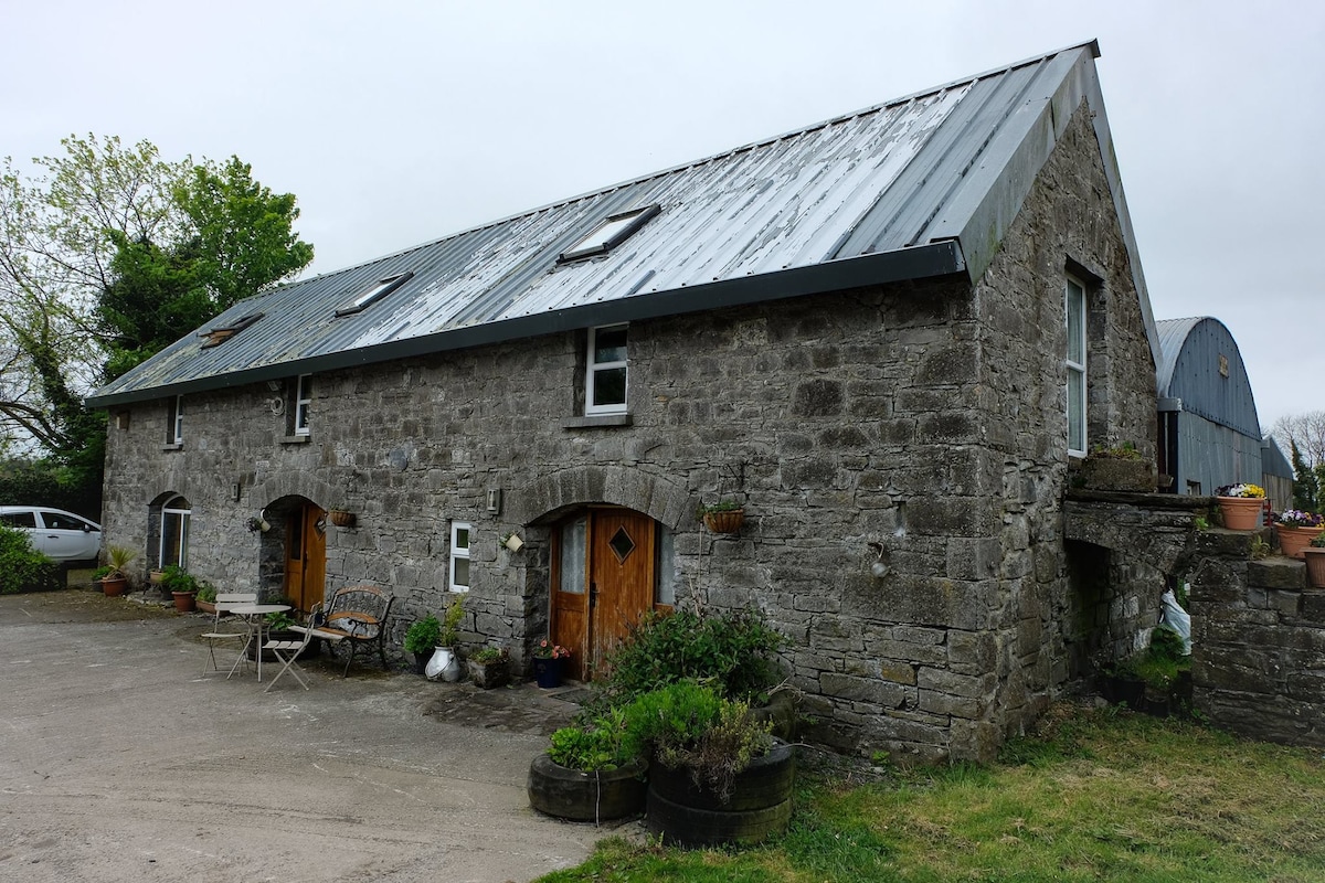 Enclosure in Ballinaspick or BishopstownEnclosure · 461 yd
 CaveMan-made underground passage · 908 yd
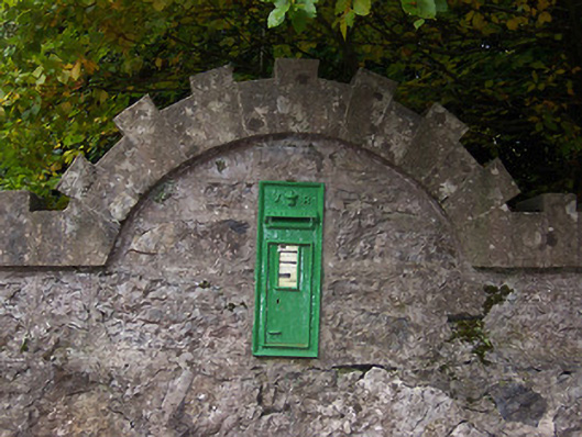 post boxpost box · 1400 yd
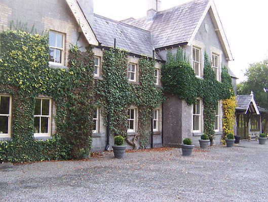 Coolatoor Househouse · 1403 yd
 Japanese pagoda treeJapanese pagoda tree · 1458 yd
 KnockastiaMountain / peak · 1618 yd
 IndicatedCastle, unclassified · 1624 yd
 Sam's ParkForest · 1.1 mi
 Charles BianconiMemorial · 5.6 mi
 Moate HillMountain / peak · 5.6 mi
 The Bob Traynor GalleryGallery · 5.7 mi