What is recorded here
Situated on a gentle NW-facing slope 13m NW of another ringfort (WI012-039----). Oval, partly levelled, ringfort (dims. 40m NW-SE; 33m NE-SW) defined by an earthen bank (Wth 3.5-4m; H 0.3-0.6m) which is incorporated into a field bank at the NE. At the NW the site is defined by a steep scarp. There is an external fosse (Wth 3-3.5m; D 0.3-0.6m) and slight evidence for an outer bank (Wth 3m) at the NNW. No indication of an entrance or internal features.
The above description is derived from the published 'Archaeological Inventory of County Wicklow' (Dublin: Stationery Office, 1997). In certain instances the entries have been revised and updated in the light of recent research.
Date of upload/revision: 17 December 2008
The monument record does not grant public access. Check the route and ask the landowner before entering private land.
- What survives
- Recorded monument
Places near here
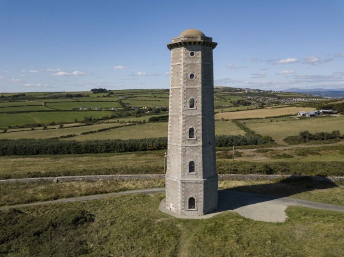 Enclosure in TithewerEnclosure · 909 yd
 Enclosure in Ballinahinch (newcastle By., Newcastle Upper Ed)Enclosure · 1290 yd
 Church in Kilmurry (newcastle By.)Church · 1.2 mi
 Kavannagh Real Christmas Trees FarmForest · 1.2 mi
 Carrigower BogNature reserve · 1.4 mi
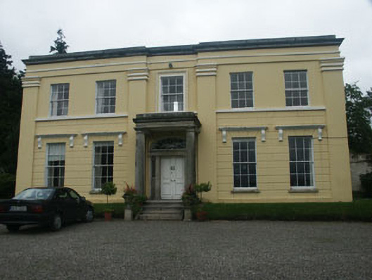 Monalin Househouse · 1.6 mi
 CastleCastle, motte · 2.3 mi
 Victor's WayHeritage attraction · 2.3 mi
 Devil's Glen WaterfallWaterfall · 3.7 mi
 Castle (in Ruins)Castle, ringwork · 3.8 mi
 White HillMountain / peak · 4.1 mi
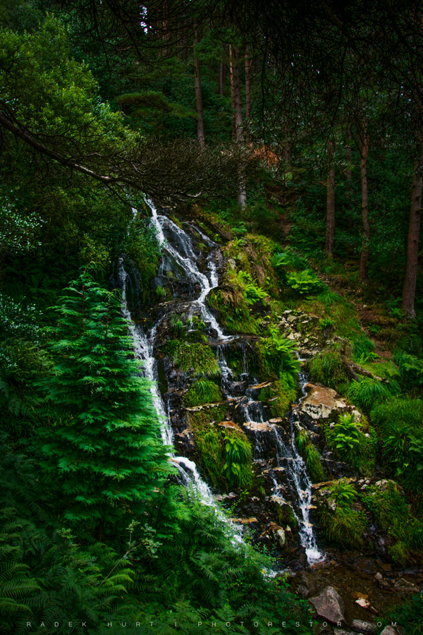 BallinafunshogeMountain / peak · 4.2 mi