What is recorded here
No visible entrance, yet the fort is a fort: a broad earthen bank, shallow ditch and flat interior on the ridge above Owenboy. The fairy name may be mischief, but the shape is human, built to be seen, entered and defended. A laneway still brushes its western edge, tying the old ring to the living town.
In pasture, on N-facing slope of E-W ridge, overlooking Owenboy river. Roughly circular, slightly raised area (46.7m N-S; 37.7m E-W) enclosed by earthen bank (int. H 1.1m; ext. H 4m); external fosse (D 2m) NE->SW. Bank stone faced internally to E. Entrance (Wth 3.4m) to S, with causeway across fosse. Laneway skirts bank SW->NW.
The above description is derived from the published 'Archaeological Inventory of County Cork. Volume 2: East and South Cork' (Dublin: Stationery Office, 1994). In certain instances the entries have been revised and updated in the light of recent research.
Date of upload/revision: 14 January 2009
A fairy fort or earthen ringfort in Ballea, likely an early-medieval agricultural or defensive site, featuring a circular enclosure with a substantial earthen bank and external fosse. Local tradition associates such sites with fairy dwellings, and they were often avoided due to beliefs in supernatural inhabitants.
The monument record does not grant public access. Check the route and ask the landowner before entering private land.
- What survives
- Recorded monument
Places near here
 Furnace in KillanullyFurnace · 902 yd
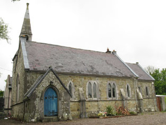 church/chapelchurch/chapel · 1088 yd
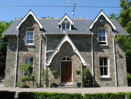 rectory/glebe/vicarage/curate's houserectory/glebe/vicarage/curate's house · 1095 yd
 Meadstown Castle (Site of)Castle, unclassified · 1176 yd
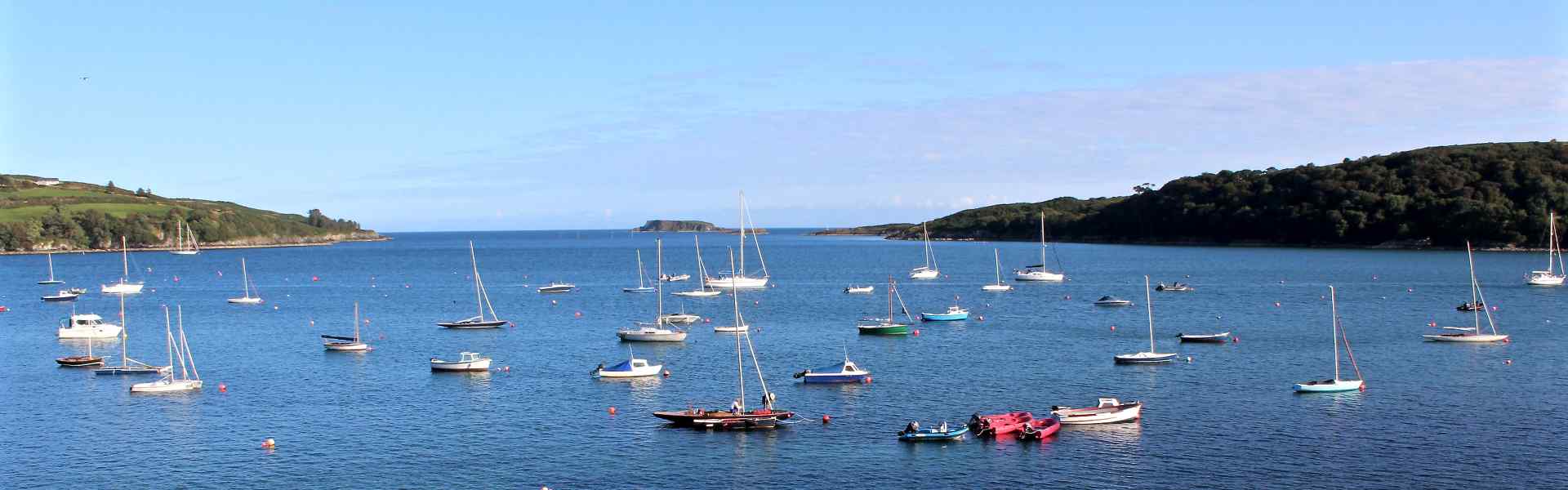 Enclosure in BallygarvanEnclosure · 1424 yd
 Ballea CastleCastle, tower house · 1.3 mi
 Manx2 Flight 7100aviation accident · 2.3 mi
 Pauper's GraveyardArchaeological place · 2.9 mi
 Graveyard in CurraghconwayGraveyard · 3.5 mi
 Ballybrack WoodsWood · 3.5 mi
 St Laitiarain's WellSpring · 3.5 mi
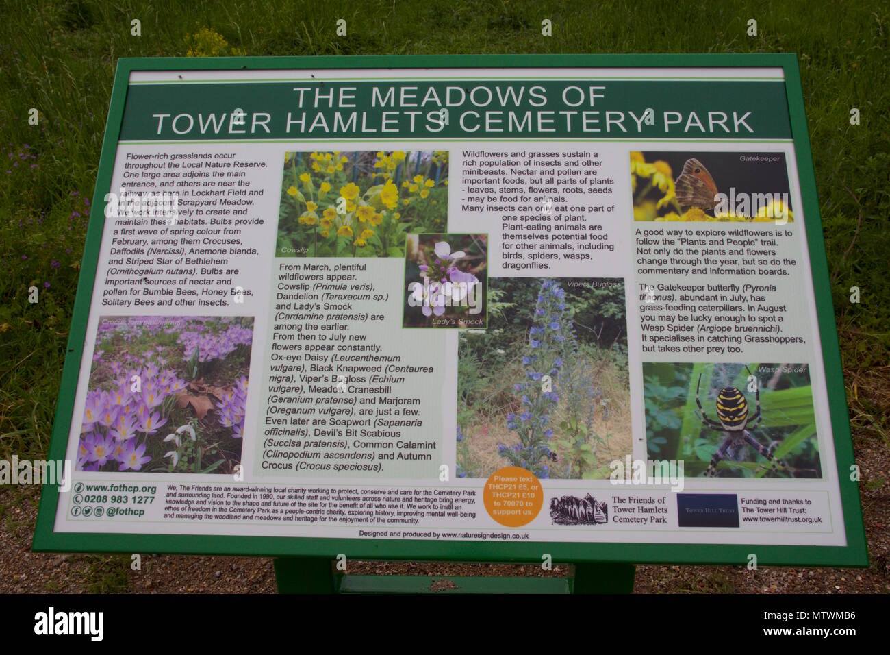 Wildlife and plant information boardsVisitor information · 3.8 mi